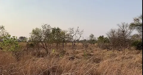
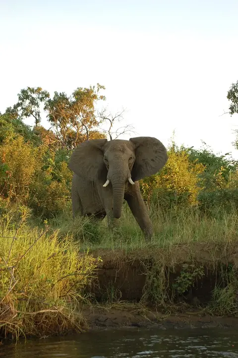
South Luangwa National Park
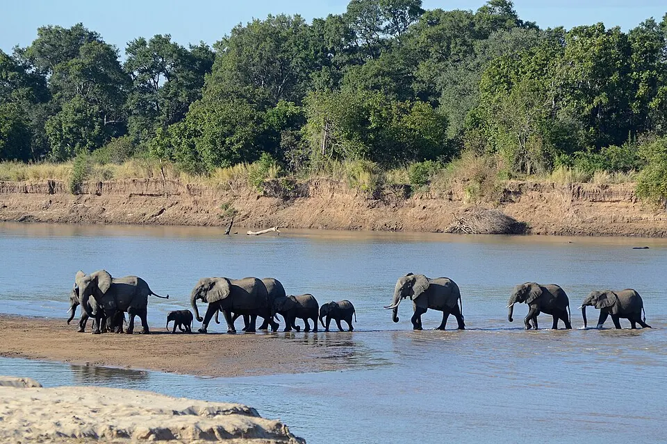
South Luangwa National Park is a national park located in Zambia's Eastern Province. Established in 1938 and covering an area of 9,050 square kilometers at an elevation of 586 meters, it is one of the most looked-up sights in Zambia on English Wikipedia.
Planning a visit
The park experiences daily highs and lows throughout the year. The months from May through September see very little rain, with July being the coolest month with daily highs of 26 °C and lows of 14 °C, while September and October reach highs of 32 °C and 34 °C respectively. The wet season runs from November through April, featuring heavy rainfall such as 298 mm in January on about 28 days.
The nearest airport is Mfuwe International Airport, located 55 km away. The capital, Lusaka, is 439 km away.
Weather by month
The warmest month is October, with an average high of 34 °C. The wettest is January, with about 298 mm of rain.
| Jan | Feb | Mar | Apr | May | Jun | Jul | Aug | Sep | Oct | Nov | Dec | |
|---|---|---|---|---|---|---|---|---|---|---|---|---|
| Average high, °C | 28 | 28 | 28 | 28 | 27 | 26 | 26 | 29 | 32 | 34 | 34 | 30 |
| Average low, °C | 21 | 21 | 21 | 20 | 17 | 15 | 14 | 16 | 19 | 22 | 23 | 22 |
| Rainfall, mm | 298 | 257 | 183 | 45 | 4 | 1 | 1 | 1 | 1 | 13 | 88 | 220 |
| Rainy days | 28 | 25 | 23 | 12 | 1 | 1 | 0 | 0 | 0 | 3 | 14 | 25 |
Temperatures and rainfall: 1981–2010 averages for this spot (4 km grid), from CHELSA. Rainy days: 2015–2024, NASA POWER.