Bhutan
Country · Asia, Southern Asia
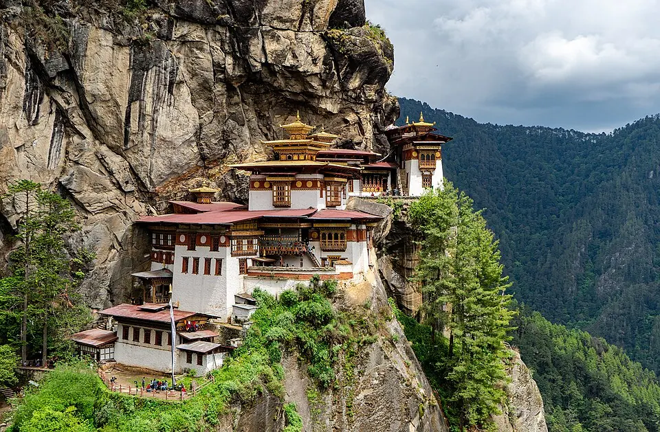
Bhutan is a country in Southern Asia, landlocked between China and India. With a population of about 800,000 people and an area of 38,394 square kilometers, its capital is Thimphu. The country offers visitors access to diverse landscapes and historical sites.
Highlights
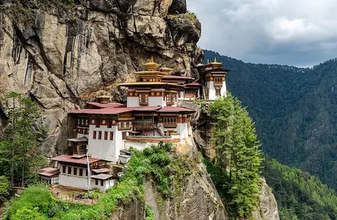
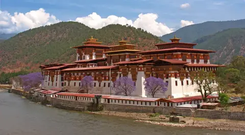
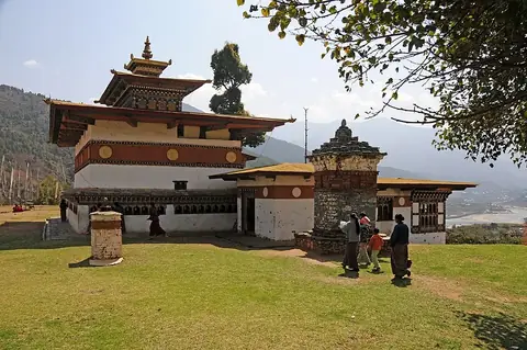
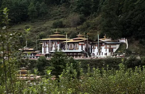
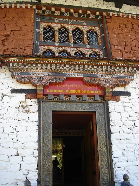
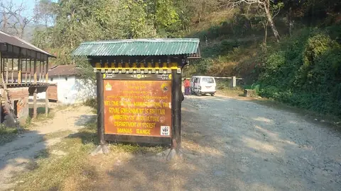
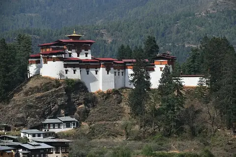
This guide covers 11 sights across the country. Notable religious and historical structures include Paro Taktsang, Punakha Dzong, Chimi Lhakhang, Kurjey Lhakhang, Tamzhing Monastery, and Drukgyal Dzong. For those interested in collections and history, the National Museum of Bhutan is available. Nature and wildlife enthusiasts can visit Royal Manas National Park, Jigme Dorji National Park, and Torsa Strict Nature Reserve. The site of Membartsho is also included. Travellers often visit the cities of Jakar, Paro, and Punakha.
Food and drink
Local dishes include Ema datshi and Datshi.
When to go
The climate at the capital, Thimphu, varies throughout the year. November, December, and January are the driest months, with only about 1 day of rain each. These months are cold, with highs between 8 °C and 12 °C and lows reaching -2 °C. Spring brings more rain; by May, there are about 24 days of rain. The wettest period is from June through August, with highs around 19 °C and nearly constant rain, reaching up to 30 days of rain in July.
Practical notes
The official currency is the ngultrum. The primary language is Dzongkha. The country operates on a 230 V electrical system, using plug types C, D, F, and G. Traffic drives on the left side of the road. The time zone is UTC+06:00.
Cities
Food and drink to try in Bhutan
- Ema datshi
- Datshi
Top sights in Bhutan

Weather by month
The warmest month is August, with an average high of 19 °C. The wettest is July, with about 223 mm of rain.
| Jan | Feb | Mar | Apr | May | Jun | Jul | Aug | Sep | Oct | Nov | Dec | |
|---|---|---|---|---|---|---|---|---|---|---|---|---|
| Average high, °C | 8 | 9 | 12 | 15 | 18 | 19 | 19 | 19 | 18 | 16 | 12 | 10 |
| Average low, °C | -2 | -1 | 2 | 4 | 7 | 11 | 12 | 12 | 10 | 6 | 2 | 0 |
| Rainfall, mm | 16 | 29 | 32 | 45 | 69 | 139 | 223 | 150 | 112 | 53 | 15 | 11 |
| Rainy days | 1 | 4 | 12 | 19 | 25 | 28 | 30 | 30 | 24 | 11 | 1 | 1 |
Temperatures and rainfall: 1981–2010 averages for Thimphu (4 km grid), from CHELSA. Rainy days: 2015–2024, NASA POWER.
Also worth a look
- Gasa Dzong
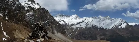
- Himalayas
- Jakar Dzong
- Jigme Singye Wangchuck National Park
- Sakteng Wildlife Sanctuary