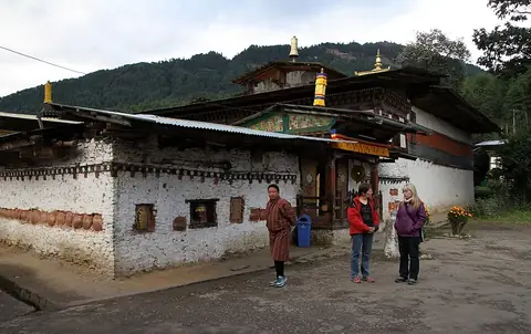
Jigme Dorji National Park
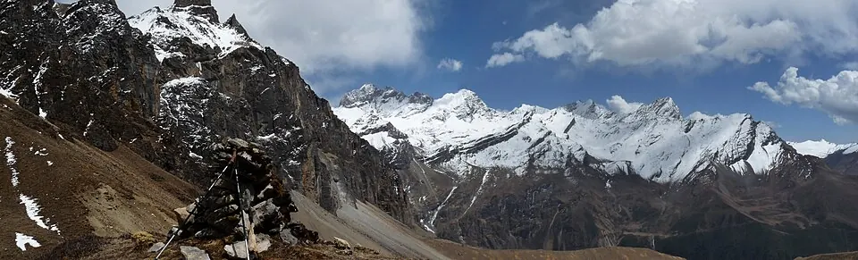
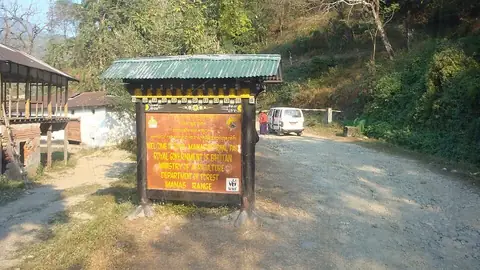
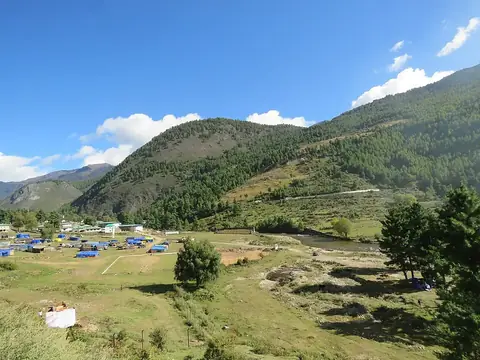
Jigme Dorji National Park is a 4,316 square kilometer national park in Bhutan. Established in 1993, this protected area is listed as a Tentative World Heritage Site.
Planning a visit
The park experiences cold temperatures year-round, with daily highs ranging from -6 °C in winter to 10 °C in summer. Rainfall is significant during the summer months, particularly in July and August, which see about 29 rainy days each. The driest periods are in November, December, and January, though temperatures during these months frequently drop well below freezing. Visitors typically arrive via Paro International Airport, located 40 kilometers from the park. The site is also situated 33 kilometers from Thimphu, the capital of Bhutan.
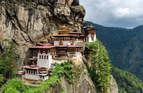
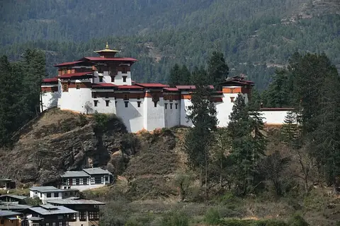
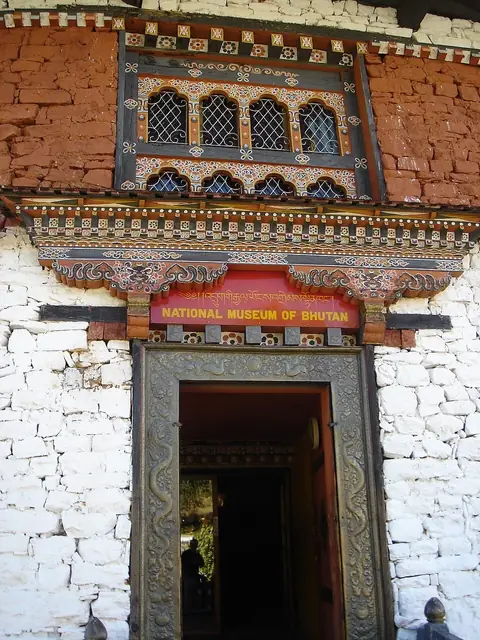
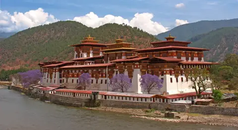
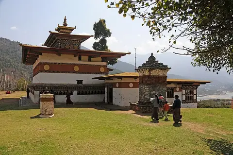
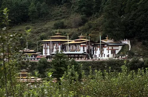
Nearby attractions include Paro Taktsang, located 32.5 kilometers away, and Drukgyal Dzong, which is 33.2 kilometers from the park. Other accessible sites in the vicinity are the National Museum of Bhutan at 36.8 kilometers, Punakha Dzong at 38.9 kilometers, and Chimi Lhakhang at 43.4 kilometers.
Weather by month
The warmest month is August, with an average high of 10 °C. The wettest is July, with about 187 mm of rain.
| Jan | Feb | Mar | Apr | May | Jun | Jul | Aug | Sep | Oct | Nov | Dec | |
|---|---|---|---|---|---|---|---|---|---|---|---|---|
| Average high, °C | -6 | -6 | -3 | 1 | 5 | 9 | 10 | 10 | 8 | 3 | -1 | -4 |
| Average low, °C | -20 | -19 | -14 | -10 | -5 | 0 | 2 | 2 | -1 | -8 | -14 | -18 |
| Rainfall, mm | 20 | 30 | 36 | 56 | 75 | 129 | 187 | 158 | 108 | 67 | 12 | 15 |
| Rainy days | 1 | 3 | 11 | 16 | 20 | 24 | 29 | 29 | 22 | 7 | 0 | 1 |
Temperatures and rainfall: 1981–2010 averages for this spot (4 km grid), from CHELSA. Rainy days: 2015–2024, NASA POWER.