Chapada dos Veadeiros National Park Parque Nacional da Chapada dos Veadeiros
Brazil UNESCO World Heritage Site
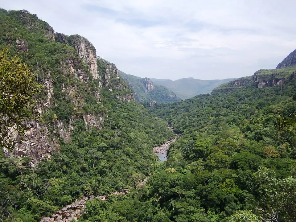
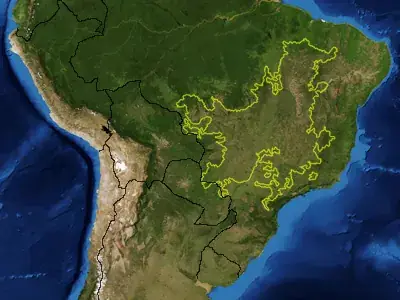
Chapada dos Veadeiros National Park is a national park in Brazil and part of a UNESCO World Heritage Site, covering 647 km2 within the Cerrado. It is the 19th most looked-up sight in Brazil on English Wikipedia and is administered by the municipalities of Alto Paraíso de Goiás, Cavalcante, Nova Roma, and São João d'Aliança.
Planning a visit
The park is 192 km from the capital, Brasília. Travelers can reach the area via the Presidente Juscelino Kubitschek International Airport (BSB), which is 200 km away. The nearby Cerrado is about 9 km from the park.
The driest months are June and July, which have no rainy days, followed by August with 1 day of rain and 13 mm of rain. The wettest months are November through March, with December seeing the most rain at 413 mm, followed by January with 372 mm, March with 369 mm, and February with 346 mm. Rainfall is also notable in October, with 216 mm. Daily highs range from 24 °C to 28 °C, and daily lows range from 14 °C to 18 °C. The highest daily temperature is 28 °C in September, and the lowest is 14 °C in June and July.
Weather by month
The warmest month is September, with an average high of 28 °C. The wettest is December, with about 413 mm of rain.
| Jan | Feb | Mar | Apr | May | Jun | Jul | Aug | Sep | Oct | Nov | Dec | |
|---|---|---|---|---|---|---|---|---|---|---|---|---|
| Average high, °C | 24 | 25 | 25 | 25 | 25 | 24 | 25 | 26 | 28 | 27 | 25 | 24 |
| Average low, °C | 17 | 17 | 17 | 17 | 16 | 14 | 14 | 15 | 17 | 18 | 17 | 17 |
| Rainfall, mm | 372 | 346 | 369 | 171 | 42 | 7 | 3 | 13 | 64 | 216 | 338 | 413 |
| Rainy days | 20 | 20 | 22 | 16 | 3 | 0 | 0 | 1 | 3 | 14 | 23 | 20 |
Temperatures and rainfall: 1981–2010 averages for this spot (4 km grid), from CHELSA. Rainy days: 2015–2024, NASA POWER.