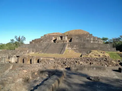
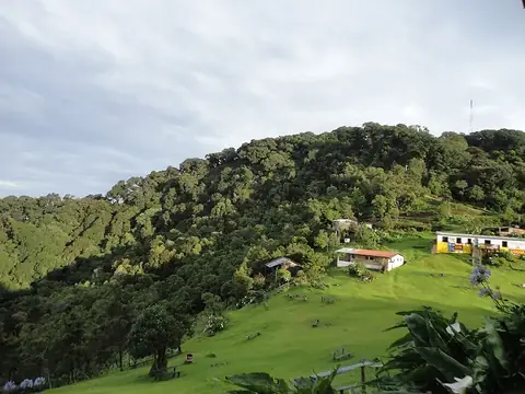
Joya de Cerén
El Salvador UNESCO World Heritage Site
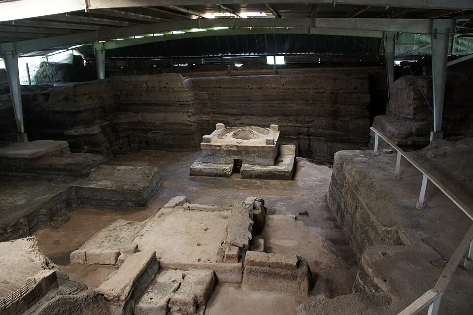
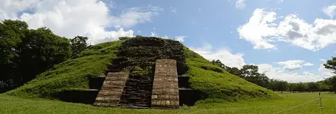
Joya de Cerén is an archaeological site located in San Juan Opico, El Salvador. It is recognized as a World Heritage Site and is one of the most looked-up sights in the country on English Wikipedia, ranking 2 out of 7 sights on this site. Covering an area of 0.05 square kilometers, the site offers a unique look into past structures.
Planning a visit
For drier weather, plan a visit between November and April, when monthly rain ranges from 2 mm to 34 mm and rainy days are between 3 and 13 per month. The period from May to October brings heavier rainfall, with rain totals between 149 mm and 292 mm and up to 29 rainy days in September. Daily temperatures remain steady throughout the year, with highs ranging from 29 °C to 33 °C and lows from 19 °C to 22 °C.
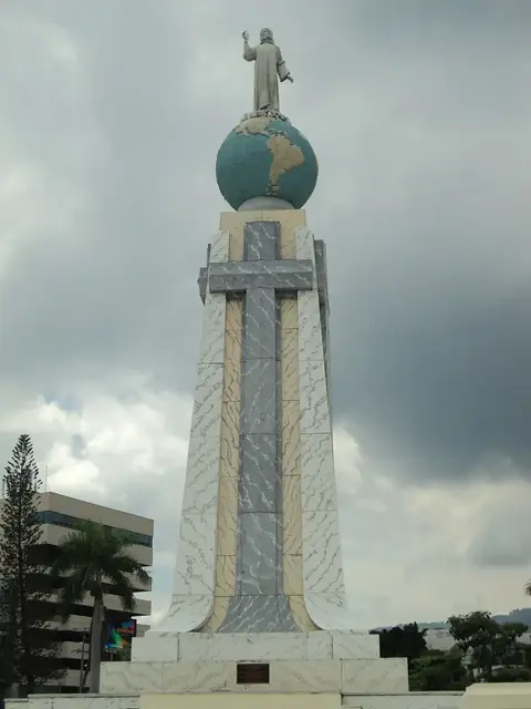
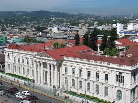
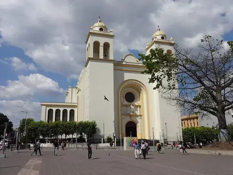
The site is located 23 km from the capital, San Salvador. The nearest airport is Ilopango International Airport in San Salvador, 29 km away, while the major hub is El Salvador International Airport Saint Óscar Arnulfo Romero y Galdámez in San Salvador (San Luis Talpa), 54 km away. Nearby places to visit include Monumento al Divino Salvador del Mundo at 20.0 km, National Palace at 22.9 km, Metropolitan Cathedral of San Salvador at 22.9 km, Cihuatán at 26.8 km, and Tazumal at 38.3 km.
Weather by month
The warmest month is April, with an average high of 33 °C. The wettest is September, with about 292 mm of rain.
| Jan | Feb | Mar | Apr | May | Jun | Jul | Aug | Sep | Oct | Nov | Dec | |
|---|---|---|---|---|---|---|---|---|---|---|---|---|
| Average high, °C | 31 | 32 | 33 | 33 | 31 | 30 | 31 | 31 | 29 | 29 | 30 | 31 |
| Average low, °C | 19 | 20 | 21 | 22 | 22 | 22 | 22 | 22 | 22 | 21 | 20 | 20 |
| Rainfall, mm | 2 | 3 | 8 | 34 | 149 | 252 | 249 | 236 | 292 | 159 | 30 | 7 |
| Rainy days | 3 | 3 | 5 | 11 | 23 | 27 | 24 | 27 | 29 | 24 | 13 | 5 |
Temperatures and rainfall: 1981–2010 averages for this spot (4 km grid), from CHELSA. Rainy days: 2015–2024, NASA POWER.