El Salvador
Country · Americas, Central America
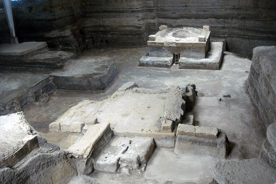
El Salvador is located in Central America, bordered by Guatemala and Honduras. The country has an area of 21,041 square kilometers and a population of about 6.4 million, with San Salvador as its capital. It offers travellers a mix of archaeological sites, natural geography, and cultural landmarks.
Highlights
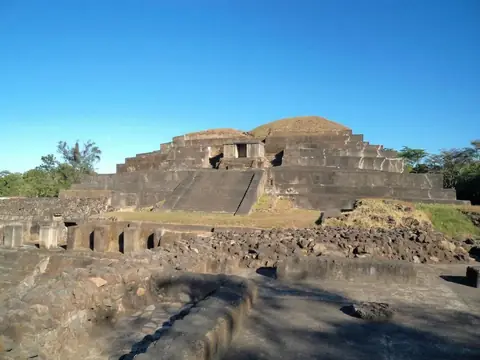
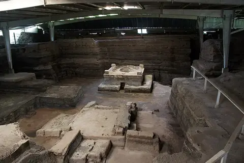
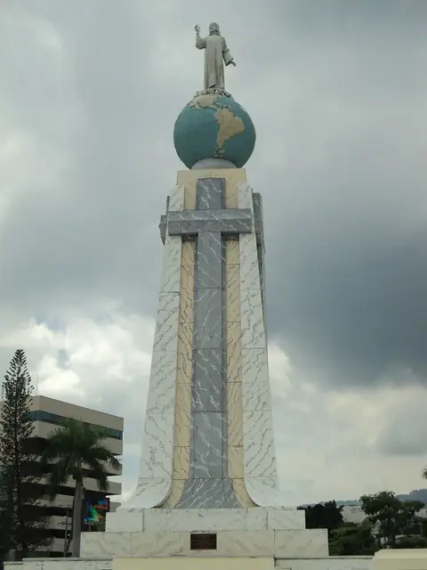
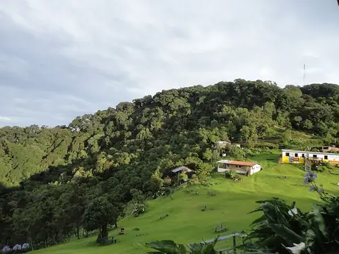
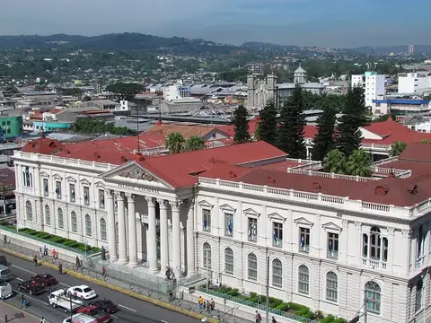
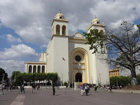
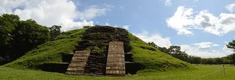
The site covers 7 top sights. Cultural and historical landmarks in San Salvador include the National Palace, the Metropolitan Cathedral of San Salvador, and the Monumento al Divino Salvador del Mundo. Archaeological sites feature Tazumal, Joya de Cerén which is a UNESCO site, and Cihuatán. For nature, Cerro El Pital stands as the highest point.
Food and drink
Local dishes include pupusa, curtido, and sopa de pata.
When to go
The climate at the capital, San Salvador, features daily highs and lows. Months from November to April experience lower rainfall, with rain totals between 2 mm and 44 mm and fewer rainy days, making them drier for visits. From May to October, monthly rainfall increases significantly, reaching up to 398 mm in September across about 29 rainy days.
Practical notes
The official currency consists of the United States dollar and Bitcoin, and the official language is Spanish. Plugs A and B are used with a voltage of 115.0 V, driving is on the right side of the road, and the time zone is UTC−06:00.
Cities
Food and drink to try in El Salvador
- Pupusa
- Curtido
- Sopa de pata
Top sights in El Salvador
Weather by month
The warmest month is March, with an average high of 30 °C. The wettest is September, with about 398 mm of rain.
| Jan | Feb | Mar | Apr | May | Jun | Jul | Aug | Sep | Oct | Nov | Dec | |
|---|---|---|---|---|---|---|---|---|---|---|---|---|
| Average high, °C | 29 | 30 | 30 | 30 | 28 | 27 | 28 | 28 | 27 | 27 | 28 | 28 |
| Average low, °C | 18 | 18 | 19 | 20 | 21 | 20 | 20 | 20 | 20 | 20 | 19 | 18 |
| Rainfall, mm | 2 | 4 | 11 | 44 | 198 | 337 | 367 | 345 | 398 | 235 | 41 | 9 |
| Rainy days | 2 | 2 | 5 | 13 | 25 | 27 | 25 | 28 | 29 | 26 | 13 | 3 |
Temperatures and rainfall: 1981–2010 averages for San Salvador (4 km grid), from CHELSA. Rainy days: 2015–2024, NASA POWER.
Also worth a look
- El Boquerón National Park
- El Imposible National Park
- Los Volcanes National Park