Guatemala
Country · Americas, Central America
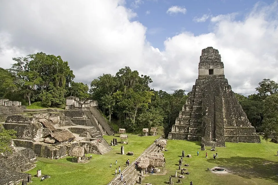
Guatemala is a country in Central America with neighbours Mexico, Belize, Honduras, and El Salvador. Its capital is Guatemala City, covering an area of 108,889 square kilometers with a population of about 19 million. The country offers travellers a mix of ancient archaeological sites, cities, and volcanic landscapes.
Highlights
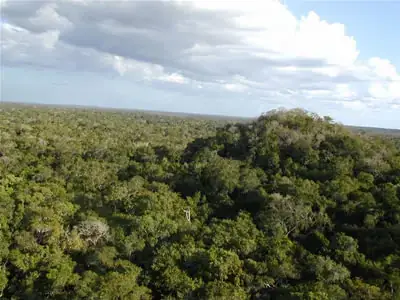
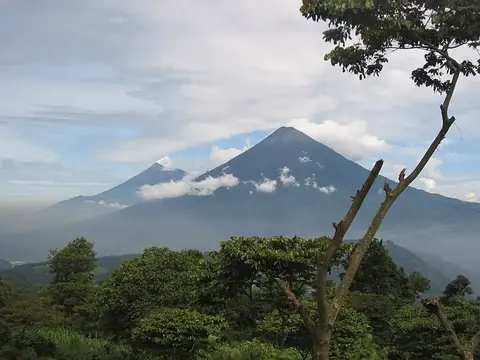
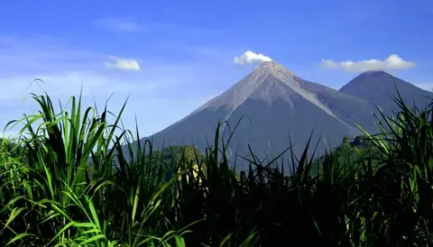
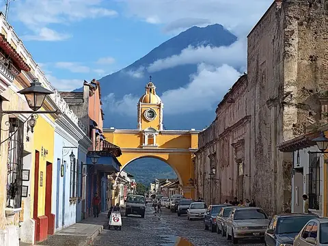
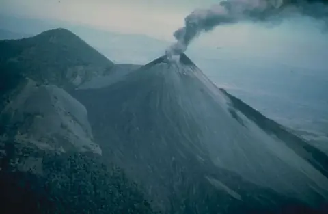
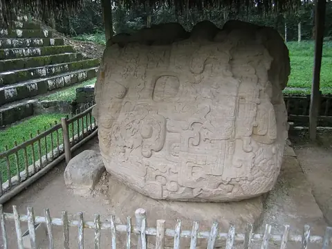
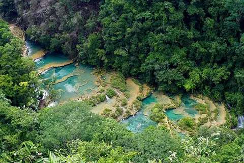
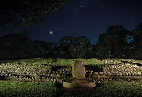
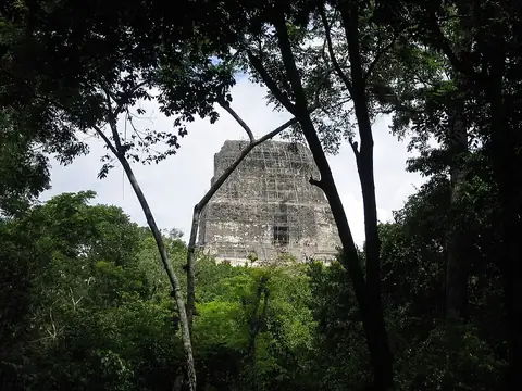
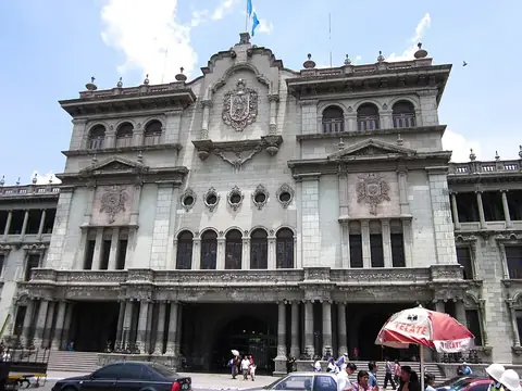
The site covers 12 top sights. Key cities include Guatemala City and Antigua Guatemala. Among the notable locations are archaeological remains and monuments such as Tikal, El Mirador, Quiriguá, Takalik Abaj, Tikal Temple IV, and Arco de Santa Catalina. Natural and volcanic sights feature Volcán de Fuego, Acatenango, Pacaya, and Semuc Champey, alongside cultural institutions like the National Palace and Museo Popol Vuh.
Food and drink
Traditional dishes to try include fiambre and kak'ik.
When to go
This climate overview applies to the capital, Guatemala City. January and February have highs of 24 °C to 26 °C, lows of 12 °C to 13 °C, and minimal rainfall of 3 mm to 6 mm across about 2 days per month. March and April see daily highs rise to 27 °C and 28 °C with lows of 14 °C to 15 °C and increasing rain. From May through October, rainfall increases significantly, ranging from 122 mm in May to 243 mm in June, with rainy days occurring on 23 to 28 days per month and daily highs between 24 °C and 27 °C. November and December return to lower rainfall of 8 mm to 30 mm and highs of 24 °C.
Practical notes
The currency is the quetzal. The official language is Spanish. Plugs type A and B are used with a voltage of 120.0 V. Driving is on the right side. The time zone is UTC−06:00.
Cities
Food and drink to try in Guatemala
- Fiambre
- Kak'ik
Top sights in Guatemala
Weather by month
The warmest month is April, with an average high of 28 °C. The wettest is June, with about 243 mm of rain.
| Jan | Feb | Mar | Apr | May | Jun | Jul | Aug | Sep | Oct | Nov | Dec | |
|---|---|---|---|---|---|---|---|---|---|---|---|---|
| Average high, °C | 24 | 26 | 27 | 28 | 27 | 25 | 25 | 25 | 25 | 24 | 24 | 24 |
| Average low, °C | 12 | 13 | 14 | 15 | 16 | 16 | 15 | 15 | 16 | 15 | 14 | 13 |
| Rainfall, mm | 3 | 6 | 8 | 30 | 122 | 243 | 197 | 173 | 226 | 124 | 30 | 8 |
| Rainy days | 2 | 2 | 4 | 10 | 23 | 27 | 24 | 27 | 28 | 25 | 13 | 3 |
Temperatures and rainfall: 1981–2010 averages for Guatemala City (4 km grid), from CHELSA. Rainy days: 2015–2024, NASA POWER.
Also worth a look
- Aguateca
- Antigua Guatemala Cathedral
- Castle of San Felipe de Lara
- Dos Pilas
- Iglesia de La Merced, Antigua Guatemala
- Iglesia de San Francisco, Antigua Guatemala
- Ixlu
- Maya Biosphere Reserve
- Mundo Perdido, Tikal
- Museo Nacional de Arqueología y Etnología
- Nakbe
- Nakum
- North Acropolis, Tikal
- Piedras Negras
- Seibal
- Tayasal
- Tikal National Park
- Uaxactun