Acatenango
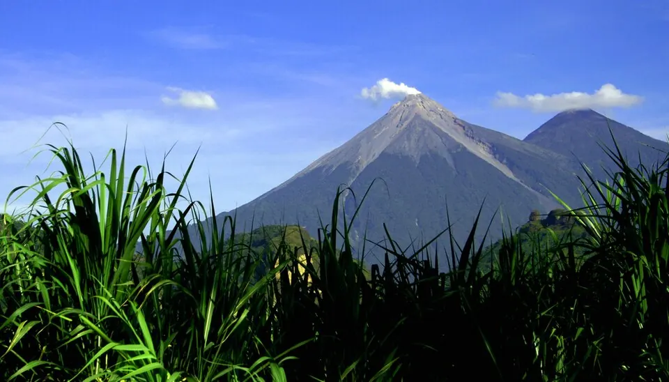
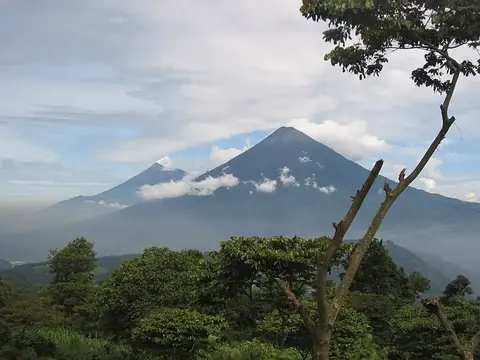
Acatenango is a mountain and volcano situated in Antigua Guatemala, Guatemala, rising to an elevation of 3976 meters within the Sierra Madre de Chiapas. It ranks as the 4th most looked-up sight in the country on English Wikipedia out of 12 sights. This destination offers visitors a striking volcanic landscape to explore.
Planning a visit
January and February offer drier conditions with only about 2 days of rain per month and highs around 14 °C to 15 °C, while months like June and September experience heavy rainfall reaching up to 566 mm over about 27 to 28 days. Daily temperatures remain steady year-round with highs between 13 °C and 15 °C and lows from 3 °C to 6 °C. Admission prices range from US$40 to US$100.
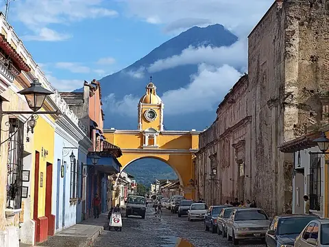
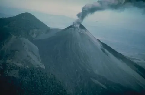
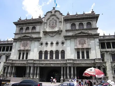
The nearest airport is La Aurora International Airport in Guatemala City, located 39 km away, and the site is 42 km from Guatemala City. Nearby locations include Volcán de Fuego at 3.0 km, Arco de Santa Catalina at 16.6 km, Pacaya at 32.5 km, Museo Popol Vuh at 39.4 km, and National Palace at 42.1 km.
Weather by month
Temperatures stay much the same all year, around 9 °C on average. The wettest is June, with about 566 mm of rain.
| Jan | Feb | Mar | Apr | May | Jun | Jul | Aug | Sep | Oct | Nov | Dec | |
|---|---|---|---|---|---|---|---|---|---|---|---|---|
| Average high, °C | 14 | 15 | 15 | 15 | 14 | 13 | 14 | 14 | 13 | 13 | 13 | 13 |
| Average low, °C | 3 | 3 | 4 | 5 | 6 | 6 | 6 | 6 | 6 | 5 | 4 | 3 |
| Rainfall, mm | 12 | 24 | 34 | 104 | 358 | 566 | 385 | 412 | 547 | 368 | 79 | 23 |
| Rainy days | 2 | 2 | 4 | 10 | 23 | 27 | 24 | 27 | 28 | 25 | 13 | 3 |
Temperatures and rainfall: 1981–2010 averages for this spot (4 km grid), from CHELSA. Rainy days: 2015–2024, NASA POWER.