Tikal
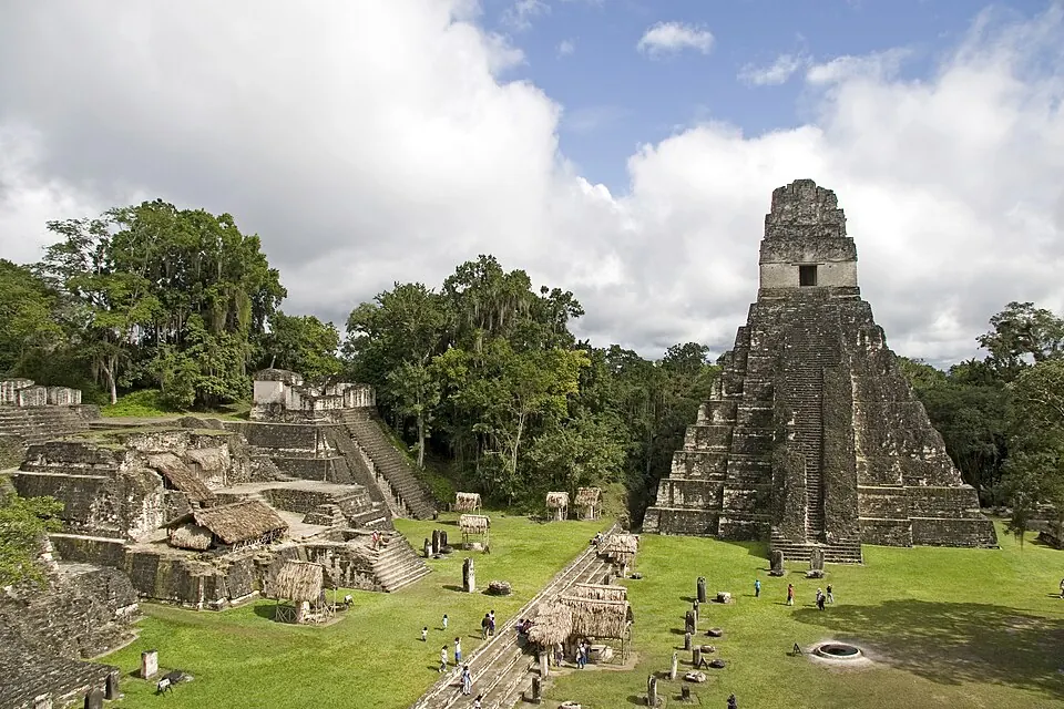
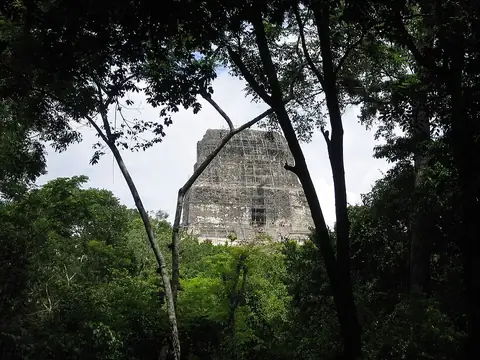
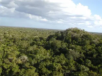
Tikal is an archaeological site located in the Petén Department of Guatemala and is part of Tikal National Park. It is the most looked-up sight of the country on English Wikipedia among the sights on this site.
Planning a visit
For drier weather, the months of February through April see lower rainfall amounts, with March experiencing 42 mm of rain on about 10 days and April getting 52 mm on about 6 days. Daily highs reach 29 °C to 34 °C during this period, while lows range from 19 °C to 22 °C. The rainiest months are September with 234 mm of rain on about 25 days, and June, July, October, and November with rain totals of 168 mm to 203 mm.
The nearest airport is Mundo Maya International Airport in San Benito, Guatemala, located 43 km away. Philip S. W. Goldson International Airport in Belize City, Belize, is 44 km away. Tikal is 302 km from Guatemala City. Nearby places to visit include Tikal Temple IV, which is 0.7 km away.
Weather by month
The warmest month is April, with an average high of 34 °C. The wettest is September, with about 234 mm of rain.
| Jan | Feb | Mar | Apr | May | Jun | Jul | Aug | Sep | Oct | Nov | Dec | |
|---|---|---|---|---|---|---|---|---|---|---|---|---|
| Average high, °C | 27 | 29 | 32 | 34 | 34 | 31 | 31 | 32 | 31 | 29 | 28 | 27 |
| Average low, °C | 19 | 19 | 20 | 22 | 23 | 23 | 23 | 23 | 23 | 22 | 20 | 19 |
| Rainfall, mm | 72 | 47 | 42 | 52 | 128 | 203 | 168 | 169 | 234 | 201 | 120 | 85 |
| Rainy days | 16 | 11 | 10 | 6 | 12 | 22 | 22 | 23 | 25 | 22 | 20 | 18 |
Temperatures and rainfall: 1981–2010 averages for this spot (4 km grid), from CHELSA. Rainy days: 2015–2024, NASA POWER.