Arco de Santa Catalina
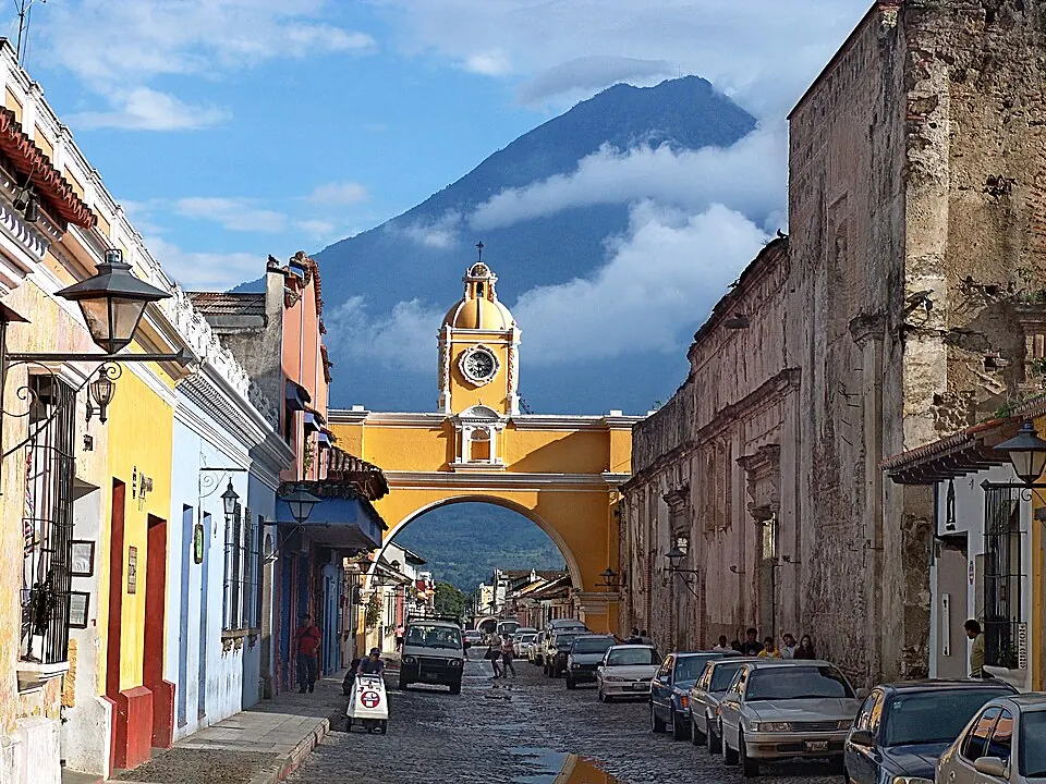
The Arco de Santa Catalina is a concrete bridge located in the city of Antigua Guatemala. It is one of the most looked-up sights in Guatemala.
Planning a visit
The dry season, running from December through March, offers the most favorable weather for visiting, with low rainfall and daily highs between 23 °C and 25 °C. The rainy season begins in May and continues through October, with the highest rainfall occurring in June and September when it rains on more than 25 days each month.
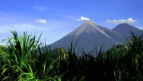
To reach the site, travelers can fly into La Aurora International Airport in Guatemala City, which is 22 kilometers away. The bridge is located 25 kilometers from Guatemala City. You can combine a visit with nearby locations such as Acatenango, 16.6 kilometers away, or the Volcán de Fuego, located 18.4 kilometers from the bridge. Other nearby sites include the Museo Popol Vuh at 22.8 kilometers, Pacaya at 24.5 kilometers, and the National Palace at 25.5 kilometers.
Weather by month
The warmest month is March, with an average high of 25 °C. The wettest is June, with about 405 mm of rain.
| Jan | Feb | Mar | Apr | May | Jun | Jul | Aug | Sep | Oct | Nov | Dec | |
|---|---|---|---|---|---|---|---|---|---|---|---|---|
| Average high, °C | 24 | 25 | 25 | 25 | 24 | 23 | 23 | 24 | 23 | 23 | 23 | 23 |
| Average low, °C | 12 | 13 | 13 | 15 | 15 | 15 | 15 | 15 | 15 | 15 | 13 | 13 |
| Rainfall, mm | 6 | 13 | 18 | 66 | 246 | 405 | 283 | 283 | 380 | 230 | 48 | 13 |
| Rainy days | 2 | 2 | 4 | 10 | 23 | 27 | 24 | 27 | 28 | 25 | 13 | 3 |
Temperatures and rainfall: 1981–2010 averages for this spot (4 km grid), from CHELSA. Rainy days: 2015–2024, NASA POWER.