El Mirador
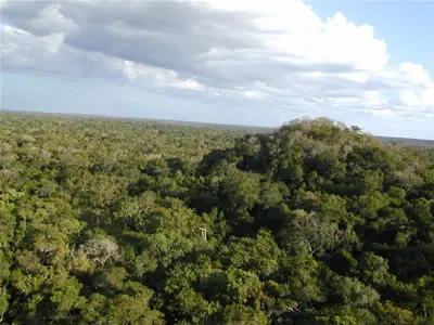
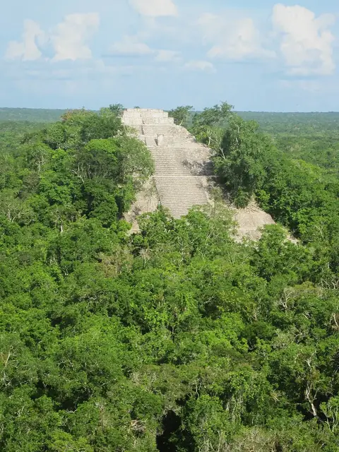
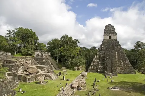
El Mirador is an archaeological site and former human settlement located in the Petén Department of Guatemala. It ranks as the second most looked-up sight in the country among the sights covered here.
Planning a visit
The driest months to visit are March and April, which see the least amount of rain and temperatures ranging from highs of 32 °C to 34 °C. Rain increases significantly starting in June and remains frequent through November, with September being the wettest month. Temperatures remain warm throughout the year, with daily highs generally between 28 °C and 34 °C.
The nearest airport is Mundo Maya International Airport in San Benito, located 94 km away, while Philip S. W. Goldson International Airport in Belize City is 173 km away. The site is 352 km from Guatemala City. You can combine a trip to El Mirador with the archaeological site of Calakmul, which is 40.6 km away.
Weather by month
The warmest month is April, with an average high of 34 °C. The wettest is September, with about 232 mm of rain.
| Jan | Feb | Mar | Apr | May | Jun | Jul | Aug | Sep | Oct | Nov | Dec | |
|---|---|---|---|---|---|---|---|---|---|---|---|---|
| Average high, °C | 28 | 30 | 33 | 34 | 34 | 32 | 32 | 32 | 31 | 29 | 28 | 28 |
| Average low, °C | 19 | 19 | 20 | 22 | 23 | 23 | 23 | 23 | 23 | 21 | 20 | 19 |
| Rainfall, mm | 57 | 42 | 34 | 44 | 109 | 180 | 136 | 160 | 232 | 185 | 97 | 63 |
| Rainy days | 13 | 8 | 7 | 6 | 11 | 22 | 24 | 26 | 25 | 23 | 17 | 15 |
Temperatures and rainfall: 1981–2010 averages for this spot (4 km grid), from CHELSA. Rainy days: 2015–2024, NASA POWER.