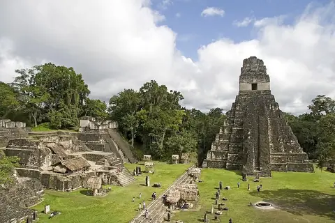
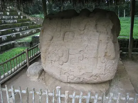
Volcán de Fuego
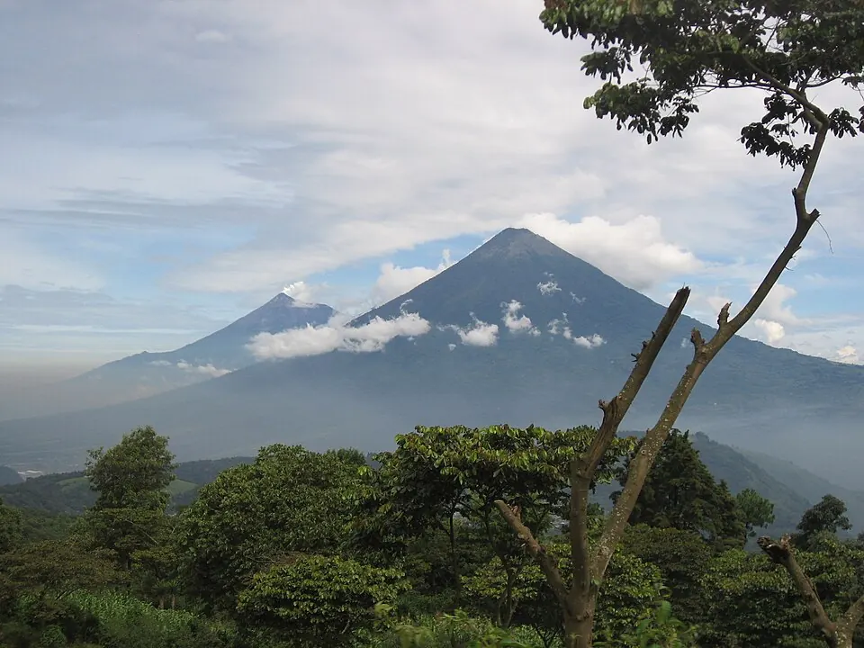
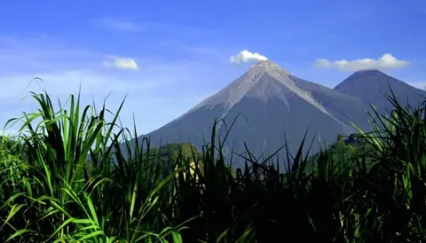
Volcán de Fuego is a mountain and volcano in Guatemala. It is one of the most looked-up sights in the country, reaching an elevation of 3,765 meters as part of the Sierra Madre de Chiapas range.
Planning a visit
The dry season from December through March is the best time to visit, as rain is minimal during these months. From May through October, the area experiences heavy rainfall, with up to 28 rainy days in September. Temperatures remain consistent throughout the year, with daily highs ranging from 12 °C to 14 °C and lows dropping to 2 °C to 5 °C. Access to the volcano costs between Q100 and Q200.
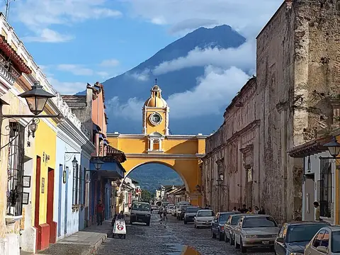
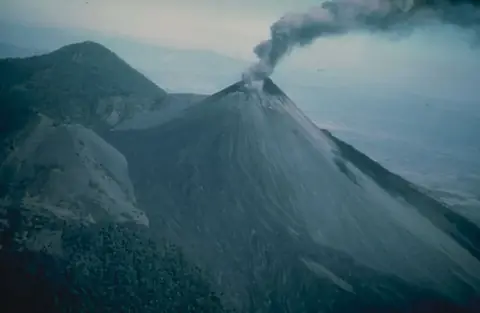
La Aurora International Airport in Guatemala City is the nearest airport, located 40 kilometers away. The volcano sits 44 kilometers from Guatemala City. You can combine a trip here with visits to nearby sights such as Acatenango, which is 3 kilometers away, or Pacaya, located 31.9 kilometers away. Other options include the Arco de Santa Catalina, 18.4 kilometers away, and the Museo Popol Vuh, 41 kilometers away.
Weather by month
Temperatures stay much the same all year, around 8 °C on average. The wettest is June, with about 594 mm of rain.
| Jan | Feb | Mar | Apr | May | Jun | Jul | Aug | Sep | Oct | Nov | Dec | |
|---|---|---|---|---|---|---|---|---|---|---|---|---|
| Average high, °C | 13 | 14 | 14 | 14 | 13 | 12 | 12 | 12 | 12 | 12 | 12 | 12 |
| Average low, °C | 2 | 2 | 3 | 4 | 5 | 5 | 4 | 5 | 5 | 4 | 3 | 2 |
| Rainfall, mm | 12 | 25 | 36 | 110 | 381 | 594 | 403 | 434 | 578 | 399 | 85 | 24 |
| Rainy days | 2 | 2 | 4 | 10 | 23 | 27 | 24 | 27 | 28 | 25 | 13 | 3 |
Temperatures and rainfall: 1981–2010 averages for this spot (4 km grid), from CHELSA. Rainy days: 2015–2024, NASA POWER.