Belize
Country · Americas, Central America
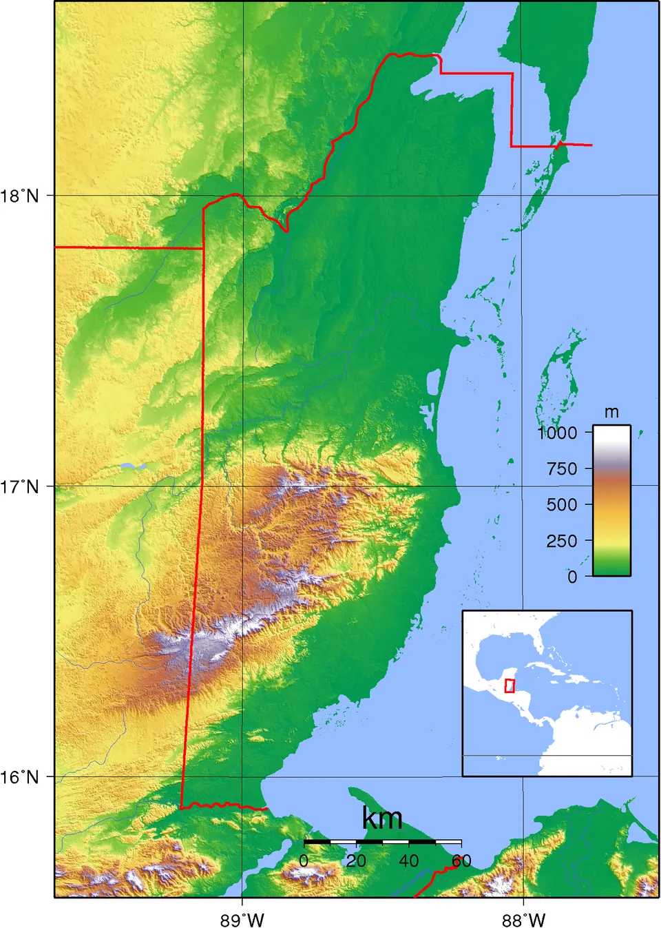
Belize is a country in Central America with neighbours by land or sea including Guatemala and Mexico. Its capital is Belmopan, covering an area of 22,966 km2 with a population of about 423,000 in 2025. It offers travellers ten sights including ruins and natural reserves.
Highlights
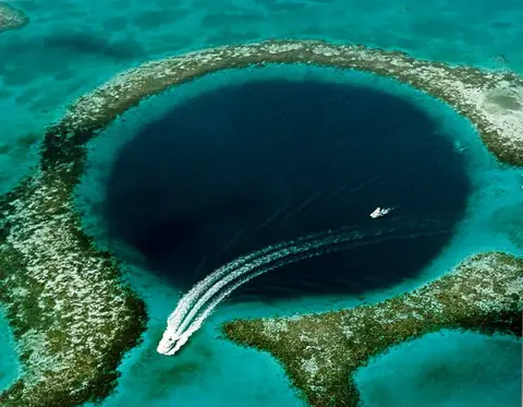
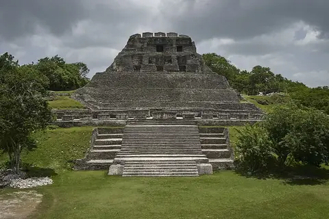
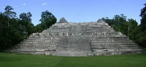
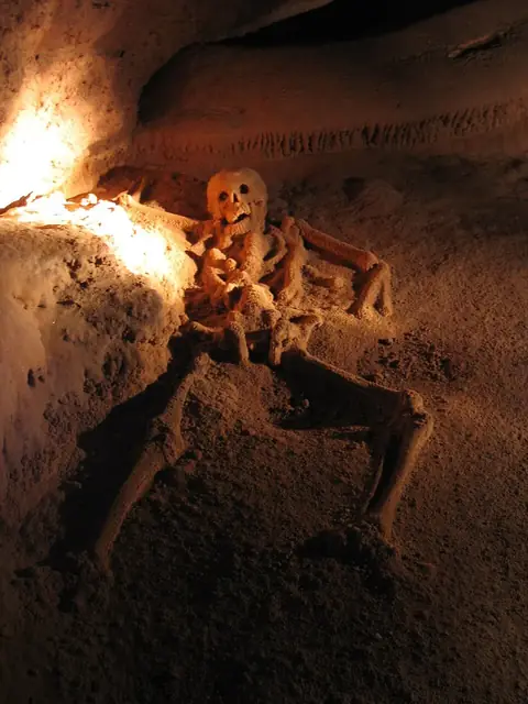
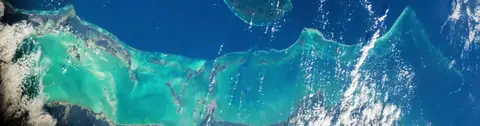
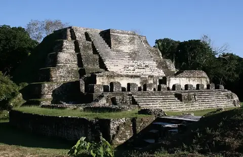
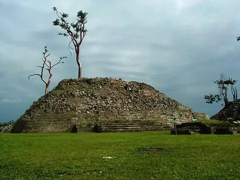
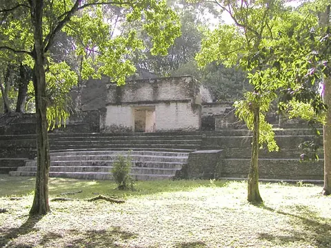
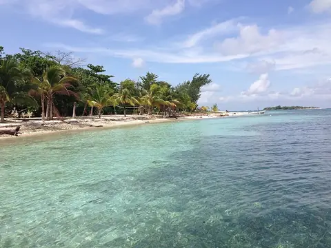
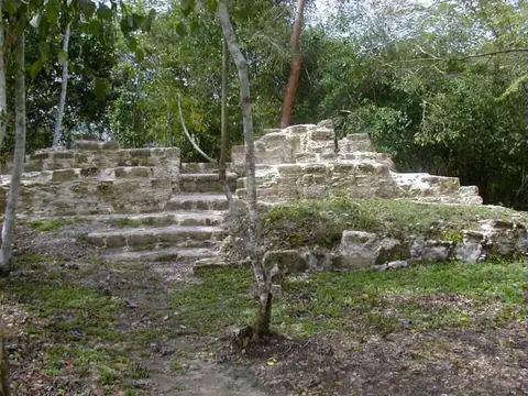
The site covers ten sights. Archaeological and historical sights include Xunantunich, Caracol, Actun Tunichil Muknal, Altun Ha, Lubaantun, Cahal Pech, and El Pilar. Natural and marine locations feature the Great Blue Hole, Belize Barrier Reef, and Sapodilla Cayes, all holding UNESCO status. The city of San Ignacio is also featured.
When to go
The climate data covers Belmopan. April is drier with 42 mm of rain across about 8 days and daily highs of 32 °C. June sees heavier rainfall with 218 mm over about 27 days and highs of 31 °C. Temperatures remain steady throughout the year, with daily highs ranging from 26 °C in January and December to 32 °C in April and May.
Practical notes
The currency is the Belize dollar. English is spoken, and the country uses plugs A, B, and G at a voltage of 110.0. Driving is on the right side of the road. The time zone is UTC−06:00, and the telephone calling code is +501.
Cities
Top sights in Belize
Weather by month
The warmest month is May, with an average high of 32 °C. The wettest is October, with about 236 mm of rain.
| Jan | Feb | Mar | Apr | May | Jun | Jul | Aug | Sep | Oct | Nov | Dec | |
|---|---|---|---|---|---|---|---|---|---|---|---|---|
| Average high, °C | 26 | 28 | 30 | 32 | 32 | 31 | 30 | 31 | 30 | 29 | 27 | 27 |
| Average low, °C | 20 | 20 | 21 | 23 | 24 | 24 | 24 | 24 | 24 | 23 | 21 | 20 |
| Rainfall, mm | 125 | 67 | 52 | 42 | 108 | 218 | 192 | 179 | 207 | 236 | 180 | 143 |
| Rainy days | 18 | 13 | 12 | 8 | 19 | 27 | 28 | 27 | 28 | 25 | 23 | 22 |
Temperatures and rainfall: 1981–2010 averages for Belmopan (4 km grid), from CHELSA. Rainy days: 2015–2024, NASA POWER.
Also worth a look
- Belize Zoo
- Cockscomb Basin Wildlife Sanctuary
- Glover's Reef
- Government House
- Mountain Pine Ridge Forest Reserve
- St. John's Cathedral