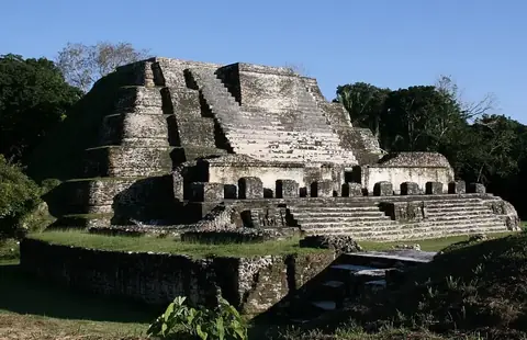
El Pilar
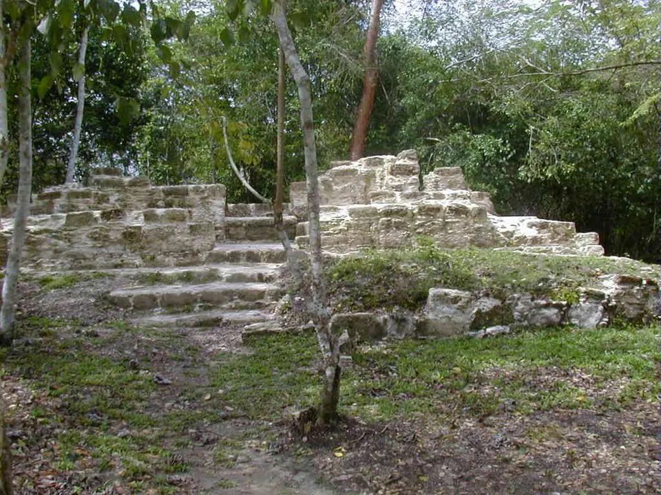
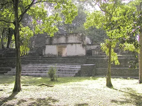
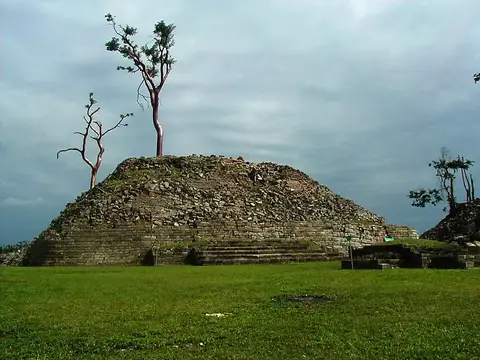
El Pilar is a Maya archaeological site and a transboundary protected area located in the Cayo District of Belize and the Petén Department of Guatemala. It is one of the 10 most looked-up sights in Belize on English Wikipedia.
Planning a visit
The driest months are March and April, when there are about 6 to 10 rainy days. The warmest period occurs between March and May, with daily highs reaching 33 °C. Rainfall increases significantly from June through October, with September having the most rain at 215 mm and approximately 25 rainy days.
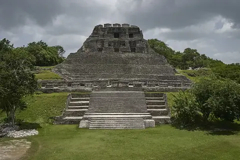
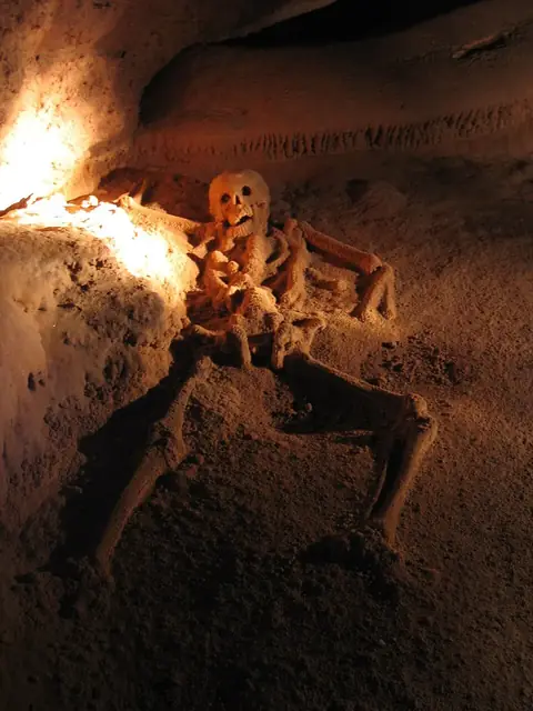
To reach the site, you can fly into Mundo Maya International Airport in San Benito, Guatemala, which is 85 km away, or Philip S. W. Goldson International Airport in Belize City, located 96 km from the site. El Pilar is 41 km from Belmopan. While visiting, you can also see nearby sites such as Cahal Pech, Xunantunich, or Actun Tunichil Muknal.
Weather by month
The warmest month is May, with an average high of 33 °C. The wettest is September, with about 215 mm of rain.
| Jan | Feb | Mar | Apr | May | Jun | Jul | Aug | Sep | Oct | Nov | Dec | |
|---|---|---|---|---|---|---|---|---|---|---|---|---|
| Average high, °C | 27 | 29 | 31 | 33 | 33 | 31 | 31 | 31 | 30 | 29 | 27 | 27 |
| Average low, °C | 19 | 19 | 20 | 22 | 23 | 23 | 23 | 23 | 23 | 22 | 20 | 19 |
| Rainfall, mm | 93 | 55 | 47 | 47 | 113 | 203 | 173 | 168 | 215 | 212 | 147 | 111 |
| Rainy days | 16 | 11 | 10 | 6 | 12 | 22 | 22 | 23 | 25 | 22 | 20 | 18 |
Temperatures and rainfall: 1981–2010 averages for this spot (4 km grid), from CHELSA. Rainy days: 2015–2024, NASA POWER.