Cahal Pech
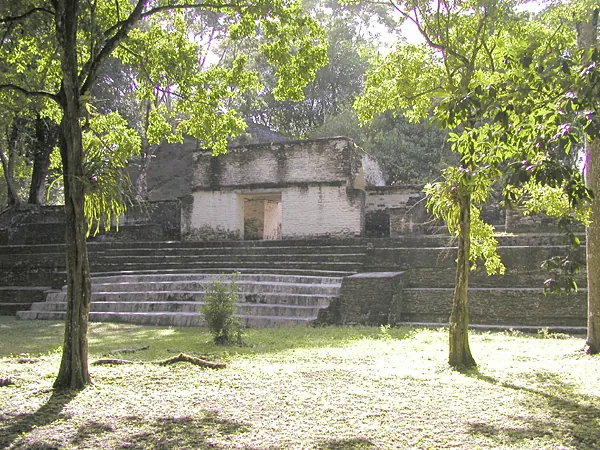
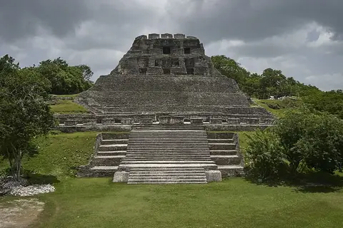
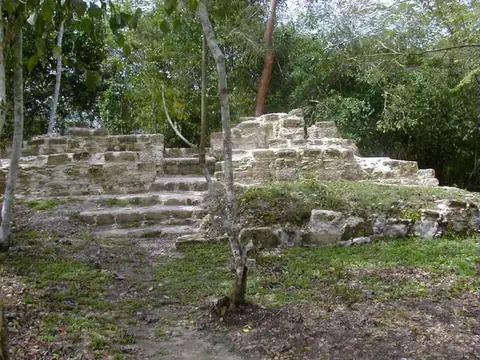
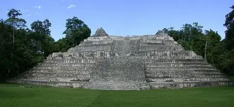
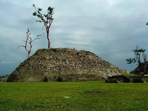
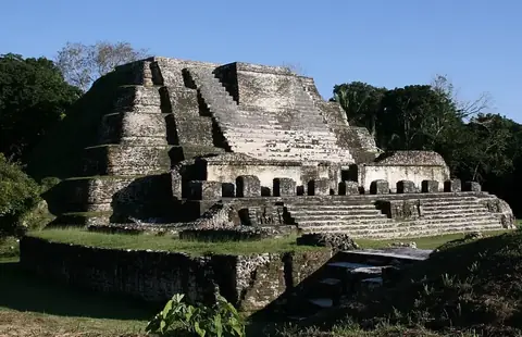
Cahal Pech is a Maya archaeological site and protected area located near San Ignacio, Belize. It is one of the 10 most looked-up sights in the country and ranks 8th among Belizean sights on English Wikipedia.
Planning a visit
The site is open Monday to Sunday from 08:00 to 17:00. Travelers can reach the area via Philip S. W. Goldson International Airport in Belize City, which is 91 km away, or Mundo Maya International Airport in San Benito, Guatemala, located 90 km from the site. Cahal Pech is 33 km from the capital, Belmopan.
Weather conditions vary by month. The driest period is between February and April, with monthly rainfall between 42 mm and 55 mm. The warmest months are April and May, when daily highs reach 33 °C. The wettest months are September and October, which see up to 210 mm of rain and about 25 to 28 rainy days. Other nearby sites to combine with a visit include Xunantunich, El Pilar, Actun Tunichil Muknal, and Caracol.
Weather by month
The warmest month is May, with an average high of 33 °C. The wettest is October, with about 210 mm of rain.
| Jan | Feb | Mar | Apr | May | Jun | Jul | Aug | Sep | Oct | Nov | Dec | |
|---|---|---|---|---|---|---|---|---|---|---|---|---|
| Average high, °C | 27 | 29 | 31 | 33 | 33 | 31 | 31 | 31 | 31 | 29 | 28 | 27 |
| Average low, °C | 19 | 20 | 21 | 22 | 23 | 24 | 24 | 24 | 23 | 22 | 21 | 20 |
| Rainfall, mm | 95 | 55 | 46 | 42 | 102 | 188 | 159 | 159 | 199 | 210 | 150 | 115 |
| Rainy days | 18 | 13 | 12 | 8 | 19 | 27 | 28 | 27 | 28 | 25 | 23 | 22 |
Temperatures and rainfall: 1981–2010 averages for this spot (4 km grid), from CHELSA. Rainy days: 2015–2024, NASA POWER.