Xunantunich
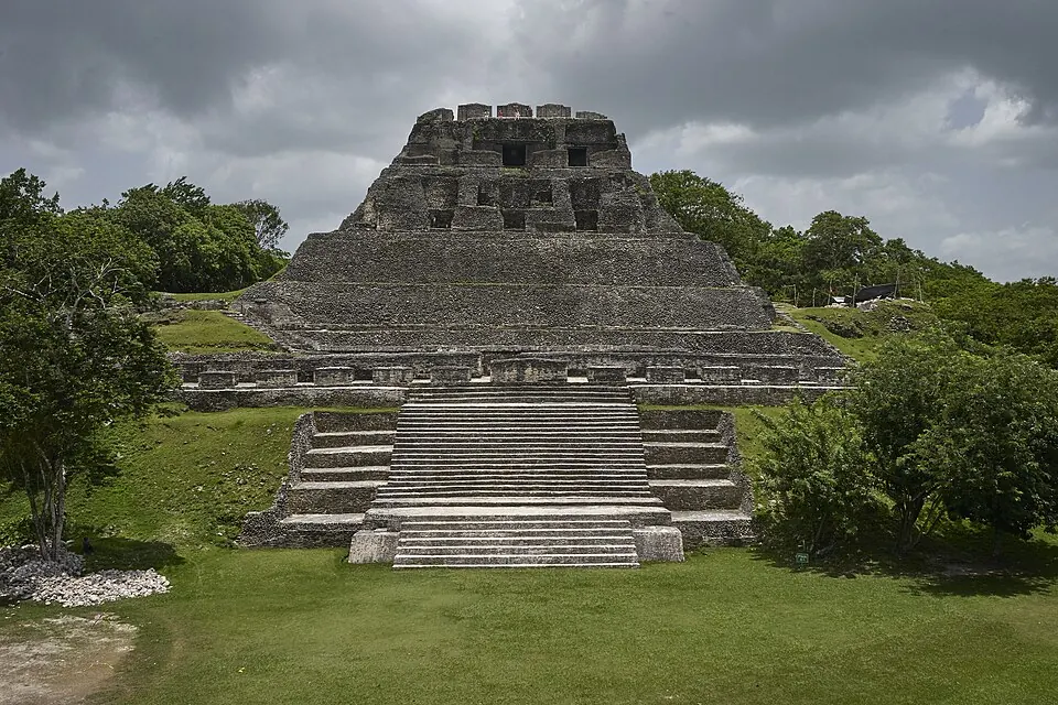
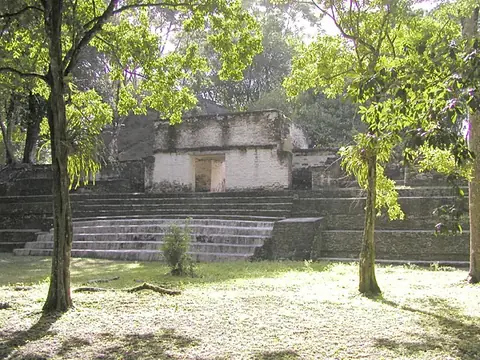
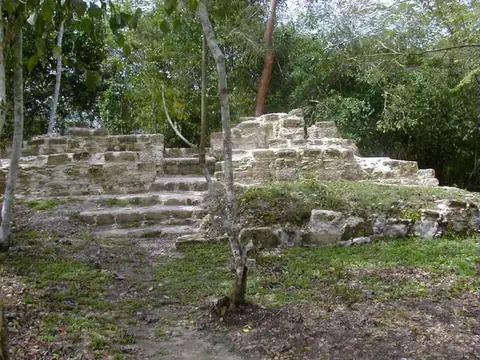
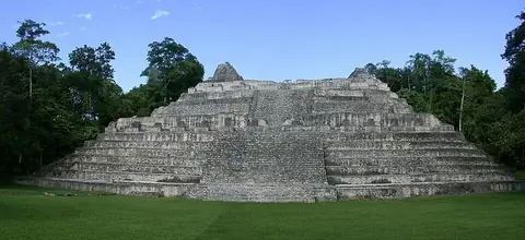
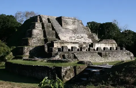
Xunantunich is a Maya archaeological site and protected area located in the Cayo District of Belize. It is one of the most looked-up sights in Belize and recorded over 100,000 visitors in 2019. The site sits at an elevation of 152 meters.
Planning a visit
The best time to visit Xunantunich is during the drier months of March and April, when rainfall is lowest at 45 mm and temperatures reach up to 34 °C. The rainy season, which lasts from June through October, sees significantly higher precipitation, peaking at 215 mm in September with around 25 rainy days. The site is open to the public, and foreigners pay an admission fee of BZ$25, while residents pay BZ$10.
The site is located 44 km from the capital, Belmopan, and 79 km from the nearest airport, Mundo Maya International Airport in San Benito, Guatemala. Philip S. W. Goldson International Airport in Belize City is 102 km away. Visitors can combine a trip here with nearby archaeological sites such as Cahal Pech, located 11.3 km away, or El Pilar, which is 17.6 km from the site. Other nearby locations include Actun Tunichil Muknal at 29.9 km and Caracol at 36.4 km.
Weather by month
The warmest month is May, with an average high of 34 °C. The wettest is September, with about 215 mm of rain.
| Jan | Feb | Mar | Apr | May | Jun | Jul | Aug | Sep | Oct | Nov | Dec | |
|---|---|---|---|---|---|---|---|---|---|---|---|---|
| Average high, °C | 27 | 30 | 32 | 34 | 34 | 32 | 32 | 32 | 31 | 29 | 28 | 27 |
| Average low, °C | 19 | 20 | 21 | 22 | 24 | 24 | 24 | 24 | 23 | 22 | 21 | 20 |
| Rainfall, mm | 88 | 51 | 45 | 45 | 109 | 196 | 162 | 167 | 215 | 210 | 145 | 107 |
| Rainy days | 16 | 11 | 10 | 6 | 12 | 22 | 22 | 23 | 25 | 22 | 20 | 18 |
Temperatures and rainfall: 1981–2010 averages for this spot (4 km grid), from CHELSA. Rainy days: 2015–2024, NASA POWER.