San Ignacio
City in Belize
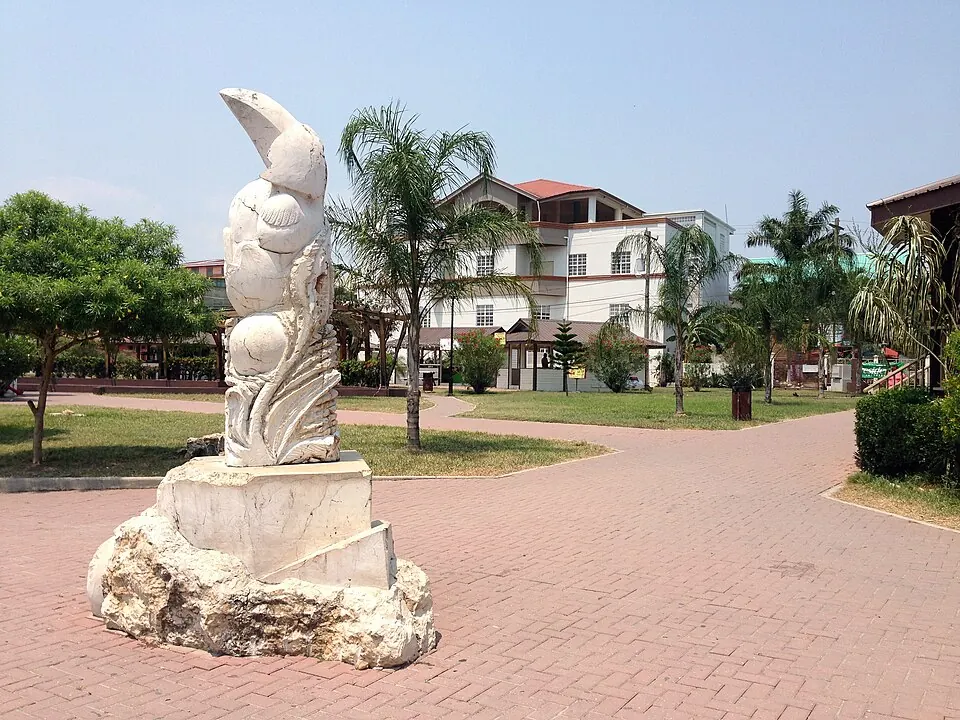
San Ignacio is a town in western Belize, located 34 km from the capital, Belmopan. With a population of about 26,000, it is a primary destination for travelers visiting nearby Mayan archaeological sites.
What to see
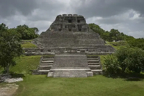
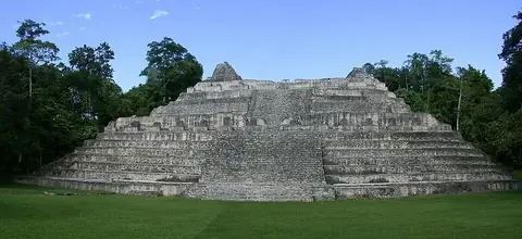
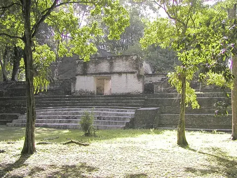
The area surrounding San Ignacio is known for several significant archaeological sites. Visitors can explore the ancient ruins of Xunantunich, Caracol, and Cahal Pech. Additionally, the cave system of Actun Tunichil Muknal is located nearby.
When to go
The driest period occurs from February through April, with rainfall ranging from 41 mm to 52 mm over 6 to 11 days. Temperatures during these months are warm, with daily highs between 29 °C and 33 °C. Rainfall increases significantly from June through November, peaking in October with 201 mm of rain over 22 days. Throughout the year, daily low temperatures remain consistent, generally between 19 °C and 24 °C.
Getting there
The nearest airport is Mundo Maya International Airport in San Benito, Guatemala, located 89 km away. Philip S. W. Goldson International Airport in Belize City is 92 km from San Ignacio.
Top sights in San Ignacio

Weather by month
The warmest month is May, with an average high of 33 °C. The wettest is October, with about 201 mm of rain.
| Jan | Feb | Mar | Apr | May | Jun | Jul | Aug | Sep | Oct | Nov | Dec | |
|---|---|---|---|---|---|---|---|---|---|---|---|---|
| Average high, °C | 27 | 29 | 32 | 33 | 33 | 32 | 31 | 32 | 31 | 29 | 28 | 27 |
| Average low, °C | 19 | 20 | 21 | 22 | 24 | 24 | 24 | 24 | 23 | 22 | 21 | 20 |
| Rainfall, mm | 89 | 52 | 43 | 41 | 100 | 182 | 153 | 154 | 195 | 201 | 141 | 108 |
| Rainy days | 16 | 11 | 10 | 6 | 12 | 22 | 22 | 23 | 25 | 22 | 20 | 18 |
Temperatures and rainfall: 1981–2010 averages for San Ignacio (4 km grid), from CHELSA. Rainy days: 2015–2024, NASA POWER.