Actun Tunichil Muknal
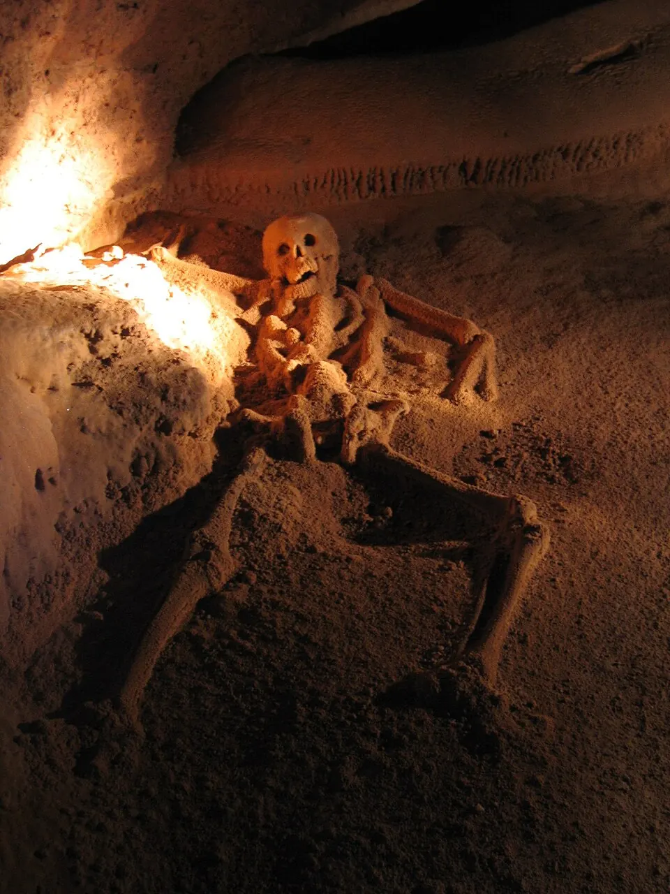
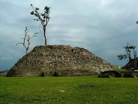
Actun Tunichil Muknal is a cave and archaeological site located within a 1.84 square kilometer protected area in the Cayo District of Belize. As one of the most looked-up sights in the country, it offers access to a significant Maya site.
Planning a visit
The driest months are March and April, which see 58 mm and 49 mm of rain respectively, making them suitable for visiting. From June through October, rainfall is heavier, often exceeding 200 mm per month on over 25 days. Temperatures remain relatively stable throughout the year, with daily highs ranging from 26 °C to 31 °C.
The site is located 18 km from Belmopan. The nearest airport is Dangriga Airport, 69 km away, while Philip S. W. Goldson International Airport in Belize City is 76 km away. Visitors can combine a trip here with other nearby archaeological sites, including Cahal Pech at 21.6 km, Xunantunich at 29.9 km, El Pilar at 34.1 km, or Caracol at 47.5 km.
Weather by month
The warmest month is May, with an average high of 31 °C. The wettest is October, with about 258 mm of rain.
| Jan | Feb | Mar | Apr | May | Jun | Jul | Aug | Sep | Oct | Nov | Dec | |
|---|---|---|---|---|---|---|---|---|---|---|---|---|
| Average high, °C | 26 | 27 | 29 | 31 | 31 | 30 | 29 | 30 | 30 | 28 | 27 | 26 |
| Average low, °C | 19 | 20 | 20 | 22 | 23 | 23 | 23 | 23 | 23 | 22 | 20 | 19 |
| Rainfall, mm | 136 | 76 | 58 | 49 | 123 | 240 | 209 | 204 | 234 | 258 | 196 | 158 |
| Rainy days | 18 | 13 | 12 | 8 | 19 | 27 | 28 | 27 | 28 | 25 | 23 | 22 |
Temperatures and rainfall: 1981–2010 averages for this spot (4 km grid), from CHELSA. Rainy days: 2015–2024, NASA POWER.