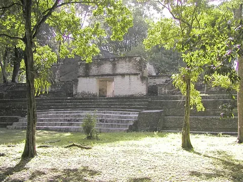
Altun Ha
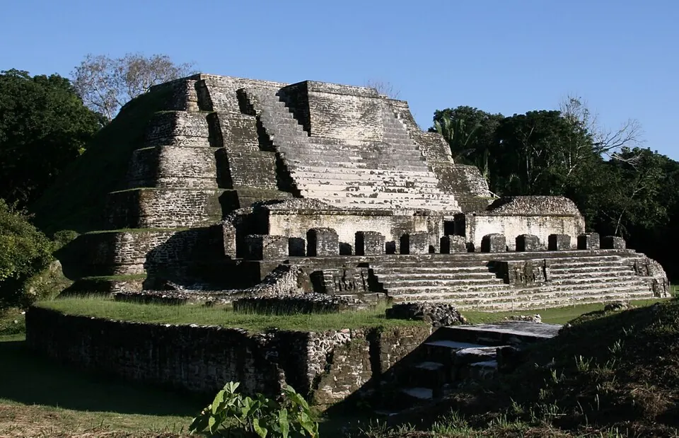
Altun Ha is an archaeological site and protected area located in Rockstone Pond, Belize. As a Maya site, it is one of the most looked-up sights in Belize, ranking 6th among the country's sights listed on this site. The location spans 0.38 square kilometers at an elevation of 11 meters. In 2019, the site recorded approximately 82,000 visitors.
Planning a visit
The climate in this region features consistent daily highs between 26°C and 30°C throughout the year, with lows ranging from 21°C to 25°C. For the driest weather, visit between March and April, which experience rain on 7 and 5 days respectively. Travelers should prepare for significantly wetter conditions from September through October, when rain falls on more than 20 days each month. November and December also see frequent rain, with about 18 days of precipitation each.
The site is located 25 kilometers from Philip S. W. Goldson International Airport in Belize City. Those traveling from the capital, Belmopan, will travel 73 kilometers to reach the area.
Weather by month
The warmest month is May, with an average high of 31 °C. The wettest is October, with about 268 mm of rain.
| Jan | Feb | Mar | Apr | May | Jun | Jul | Aug | Sep | Oct | Nov | Dec | |
|---|---|---|---|---|---|---|---|---|---|---|---|---|
| Average high, °C | 26 | 27 | 29 | 30 | 31 | 30 | 30 | 30 | 30 | 28 | 27 | 26 |
| Average low, °C | 21 | 22 | 23 | 24 | 25 | 25 | 25 | 25 | 25 | 24 | 22 | 22 |
| Rainfall, mm | 125 | 67 | 46 | 44 | 129 | 226 | 192 | 185 | 231 | 268 | 203 | 123 |
| Rainy days | 13 | 9 | 7 | 5 | 9 | 17 | 19 | 19 | 20 | 21 | 18 | 18 |
Temperatures and rainfall: 1981–2010 averages for this spot (4 km grid), from CHELSA. Rainy days: 2015–2024, NASA POWER.