Guiana Amazonian Park Parc amazonien de Guyane
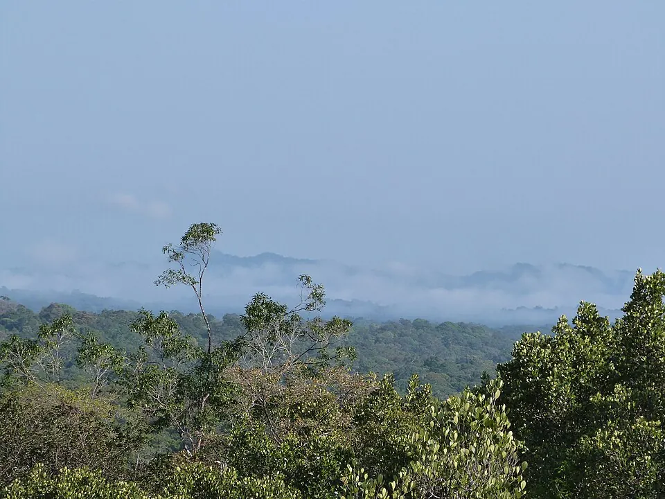
The Guiana Amazonian Park is a national park located in French Guiana. Established in 2007, this protected area spans 33,900 square kilometers and is the third most looked-up sight in the country on English Wikipedia.
Planning a visit
The park experiences significant rainfall throughout much of the year. September and October are the driest months, with about 48 to 58 millimeters of rain over 8 days each, making them suitable times for a visit. Temperatures are consistent year-round, typically ranging from daily lows of 21 °C to 23 °C and highs between 29 °C and 34 °C.
To reach the park, travelers can fly into Maripasoula Airport, which is 96 kilometers away. The park is located 283 kilometers from Cayenne, where the main hub, Cayenne – Félix Eboué Airport, is situated 270 kilometers from the park. The park covers territory across the municipalities of Saül, Maripasoula, Camopi, and Saint-Élie.
Weather by month
The warmest month is October, with an average high of 34 °C. The wettest is May, with about 358 mm of rain.
| Jan | Feb | Mar | Apr | May | Jun | Jul | Aug | Sep | Oct | Nov | Dec | |
|---|---|---|---|---|---|---|---|---|---|---|---|---|
| Average high, °C | 29 | 29 | 30 | 30 | 29 | 29 | 29 | 31 | 33 | 34 | 33 | 31 |
| Average low, °C | 22 | 22 | 22 | 22 | 22 | 22 | 21 | 22 | 22 | 23 | 23 | 23 |
| Rainfall, mm | 270 | 258 | 284 | 322 | 358 | 250 | 166 | 113 | 48 | 58 | 82 | 177 |
| Rainy days | 22 | 19 | 19 | 22 | 26 | 25 | 24 | 15 | 9 | 8 | 15 | 23 |
Temperatures and rainfall: 1981–2010 averages for this spot (4 km grid), from CHELSA. Rainy days: 2015–2024, NASA POWER.