Salvation Islands îles du Salut
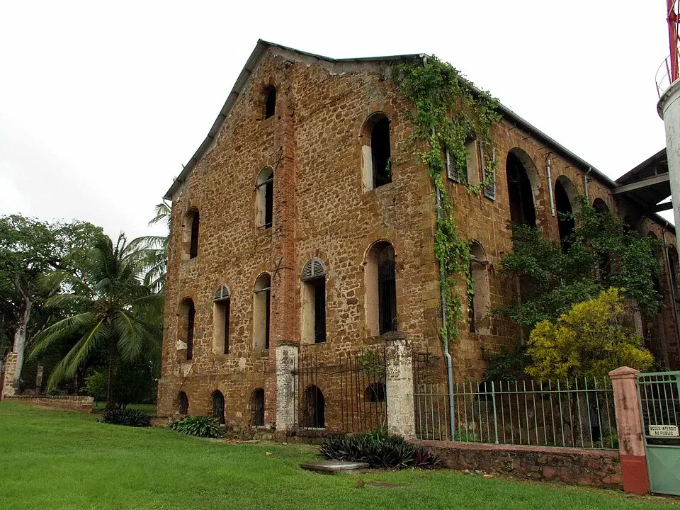
The Salvation Islands, or îles du Salut, are an archipelago located in French Guiana. As the second most looked-up sight in the country, this 0.62 square kilometer area offers a distinct geographical destination off the coast.
Planning a visit
The best time to visit is during the drier months of August, September, and October, when rainfall is lowest at between 38 mm and 77 mm. Other months experience significantly higher precipitation, peaking in May with 492 mm of rain. Temperatures remain consistent year-round, averaging 26 °C to 27 °C.
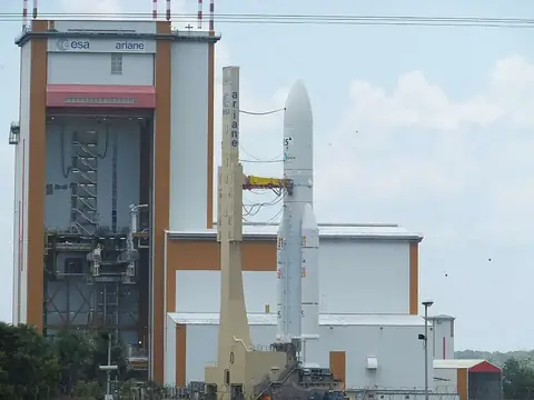
To reach the islands, travelers can fly into Cayenne – Félix Eboué Airport, which is 57 km away. The archipelago is situated 48 km from the capital, Cayenne. Visitors can combine a trip here with a visit to the Guiana Space Centre, located 20.1 km away.
Weather by month
Temperatures stay much the same all year, around 26 °C on average. The wettest is May, with about 492 mm of rain.
| Jan | Feb | Mar | Apr | May | Jun | Jul | Aug | Sep | Oct | Nov | Dec | |
|---|---|---|---|---|---|---|---|---|---|---|---|---|
| Average temperature, °C | 26 | 26 | 26 | 26 | 26 | 26 | 26 | 27 | 27 | 27 | 27 | 26 |
| Rainfall, mm | 351 | 245 | 277 | 373 | 492 | 390 | 179 | 77 | 38 | 46 | 110 | 316 |
| Rainy days | 24 | 21 | 22 | 27 | 31 | 29 | 29 | 18 | 9 | 10 | 21 | 29 |
Temperatures and rainfall: 1981–2010 averages for this spot (4 km grid), from CHELSA. Rainy days: 2015–2024, NASA POWER.