French Guiana
Territory · Americas, South America
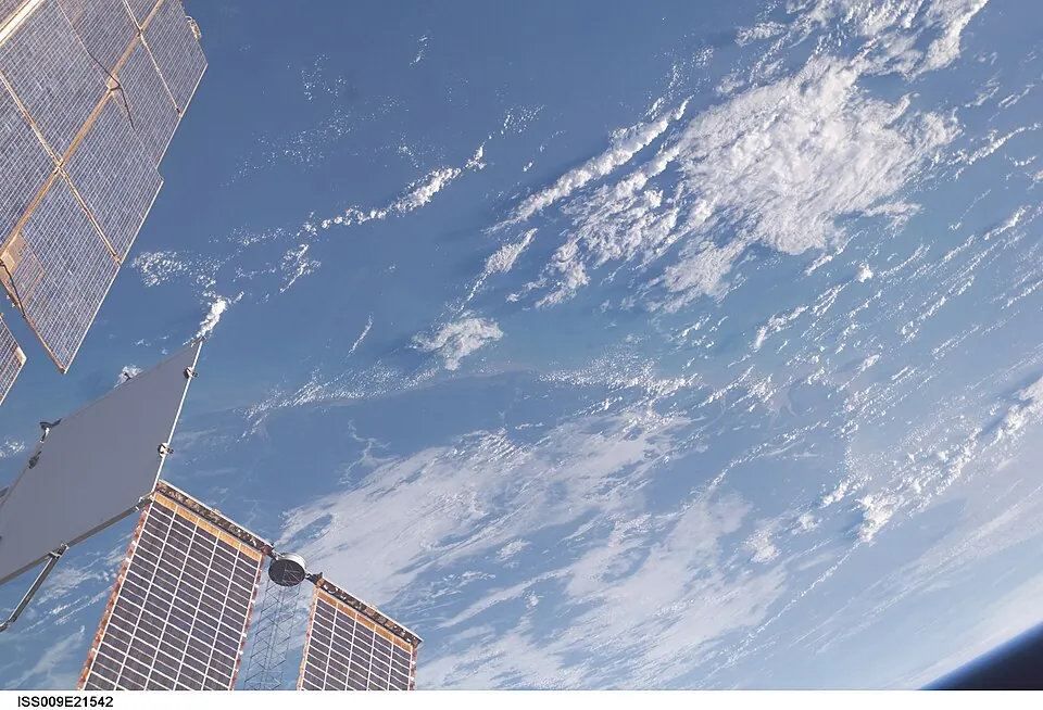
French Guiana is a territory in South America, bordered by Brazil and Suriname. Its capital is Cayenne, and it has an area of 83,534 km2 and a population of about 294,000. The territory offers visitors space technology sites, islands, and a large Amazonian park.
Highlights
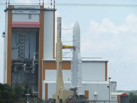
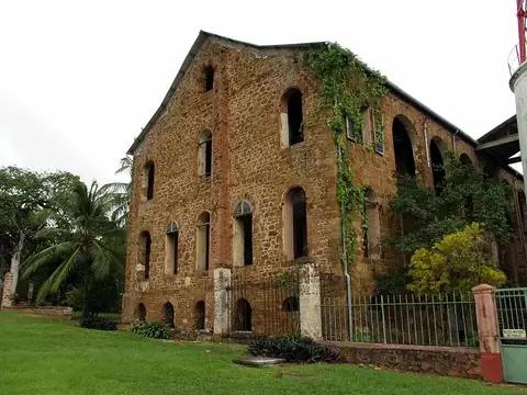
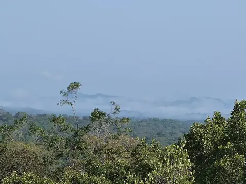
The territory covers 3 top sights. Visitors can explore the Guiana Space Centre, the historical Salvation Islands, and the vast expanses of the Guiana Amazonian Park.
When to go
This climate information covers the capital, Cayenne. September and October are the driest months, with highs of 30 °C and rain totals around 53 mm to 57 mm over about 9 days. May and June are the wettest months, experiencing up to 527 mm of rain across about 30 days while temperatures hold at a high of 28 °C and a low of 24 °C.
Practical notes
French Guiana uses the euro. The official languages are French and Guianan Creole. The electrical system operates at 220 V using plug types C and E. Driving is on the right side of the road. The time zone is UTC−03:00.
Top sights in French Guiana
Weather by month
Temperatures stay much the same all year, around 26 °C on average. The wettest is May, with about 527 mm of rain.
| Jan | Feb | Mar | Apr | May | Jun | Jul | Aug | Sep | Oct | Nov | Dec | |
|---|---|---|---|---|---|---|---|---|---|---|---|---|
| Average high, °C | 27 | 28 | 28 | 28 | 28 | 28 | 29 | 30 | 31 | 31 | 29 | 28 |
| Average low, °C | 24 | 24 | 24 | 24 | 24 | 24 | 24 | 24 | 24 | 25 | 24 | 24 |
| Rainfall, mm | 390 | 296 | 313 | 406 | 527 | 401 | 208 | 109 | 53 | 57 | 118 | 353 |
| Rainy days | 25 | 22 | 22 | 26 | 31 | 30 | 28 | 18 | 9 | 9 | 19 | 28 |
Temperatures and rainfall: 1981–2010 averages for Cayenne (4 km grid), from CHELSA. Rainy days: 2015–2024, NASA POWER.
Also worth a look
- Franco-Brazilian Binational Bridge