Mayotte
Territory · Africa, Eastern Africa
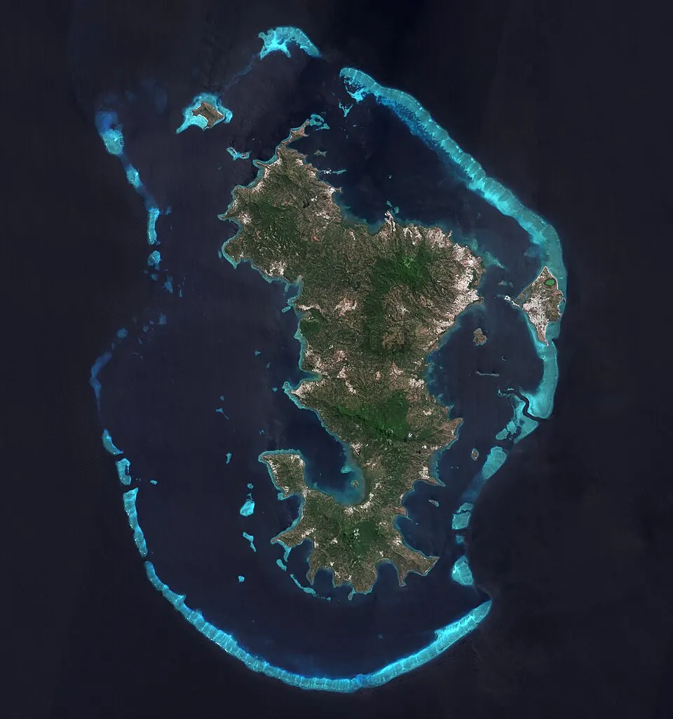
Mayotte is an island territory in Eastern Africa, sharing sea borders with Comoros and Madagascar. Its capital is Mamoudzou. The territory covers 374 square kilometers and has a population of about 321,000.
When to go
The climate data reflects averages at the capital, Mamoudzou. Average temperatures remain steady throughout the year, ranging from 24 °C to 27 °C. The months of July through September are the driest, with monthly rainfall between 16 mm and 35 mm and as few as 2 rainy days. From December to April, rainfall increases significantly, peaking in January with 329 mm of rain across about 27 days.
Practical notes
The official currency is the euro. Spoken languages include French, Maore, and Bushi. Driving is on the right side of the road. The time zone is UTC+03:00, and the calling code is +262.
Weather by month
The warmest month is April, averaging 27 °C. The wettest is January, with about 329 mm of rain.
| Jan | Feb | Mar | Apr | May | Jun | Jul | Aug | Sep | Oct | Nov | Dec | |
|---|---|---|---|---|---|---|---|---|---|---|---|---|
| Average temperature, °C | 27 | 27 | 27 | 27 | 26 | 25 | 24 | 24 | 24 | 25 | 26 | 26 |
| Rainfall, mm | 329 | 274 | 287 | 123 | 46 | 29 | 16 | 26 | 35 | 85 | 106 | 229 |
| Rainy days | 27 | 25 | 24 | 21 | 8 | 4 | 4 | 2 | 3 | 4 | 14 | 20 |
Temperatures and rainfall: 1981–2010 averages for Mamoudzou (4 km grid), from CHELSA. Rainy days: 2015–2024, NASA POWER.