Solomon Islands
Country · Oceania, Melanesia
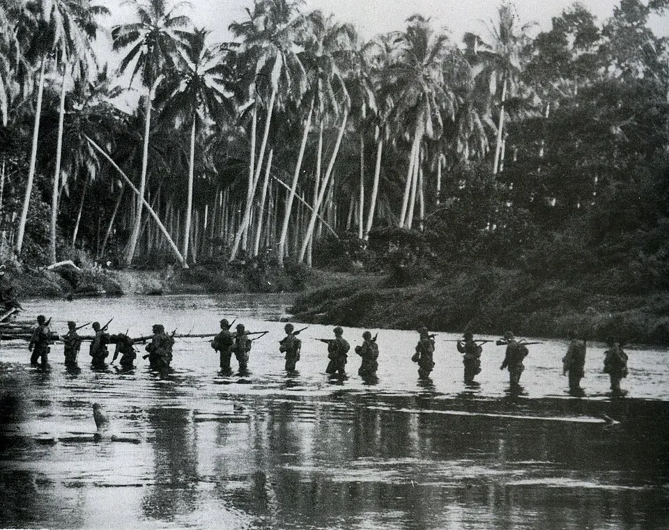
Solomon Islands is a country located in Melanesia in Oceania. It has an area of 28,400 square kilometers and a population of about 839,000, with Honiara as its capital. The country offers travelers a range of natural and historical sights.
Highlights
This site covers 1 top sight in Solomon Islands. The Matanikau River is listed as a primary sight. Additional places to consider are the Guadalcanal American Memorial and Langa Langa Lagoon.
When to go
The climate data describes the weather at the capital, Honiara. Daily highs stay consistent at 28 °C and lows at 25 °C throughout the year. Rain falls in every month. June experiences the least rain with 129 mm across about 23 days, while February sees the highest rainfall with 278 mm across about 25 days. Months with lower rainfall totals, such as June, July, August, and September, offer relatively drier conditions for a visit.
Practical notes
The currency used is the Solomon Islands dollar. The official language is English. Driving is on the left side of the road. Standard electrical plugs are types G and I, operating at a voltage of 220.0 volts. The time zone is UTC+11:00.
Top sights in Solomon Islands
Weather by month
Temperatures stay much the same all year, around 27 °C on average. Rain is spread fairly evenly through the year.
| Jan | Feb | Mar | Apr | May | Jun | Jul | Aug | Sep | Oct | Nov | Dec | |
|---|---|---|---|---|---|---|---|---|---|---|---|---|
| Average high, °C | 29 | 28 | 28 | 28 | 28 | 28 | 28 | 28 | 28 | 28 | 28 | 29 |
| Average low, °C | 25 | 25 | 25 | 25 | 25 | 25 | 25 | 25 | 25 | 25 | 25 | 25 |
| Rainfall, mm | 251 | 278 | 253 | 187 | 166 | 129 | 157 | 148 | 159 | 190 | 195 | 214 |
| Rainy days | 26 | 25 | 26 | 24 | 25 | 23 | 23 | 24 | 22 | 24 | 25 | 26 |
Temperatures and rainfall: 1981–2010 averages for Honiara (4 km grid), from CHELSA. Rainy days: 2015–2024, NASA POWER.
Also worth a look
- Guadalcanal American Memorial
- Langa Langa Lagoon