Vanuatu
Country · Oceania, Melanesia
Vanuatu is a country located in Oceania and Melanesia, with neighbors by land or sea including Australia and Solomon Islands. The capital is Port Vila, the area is 12,190 square kilometers, and the population is about 335,000 in 2025. It offers travelers geographic sights and island environments.
Highlights
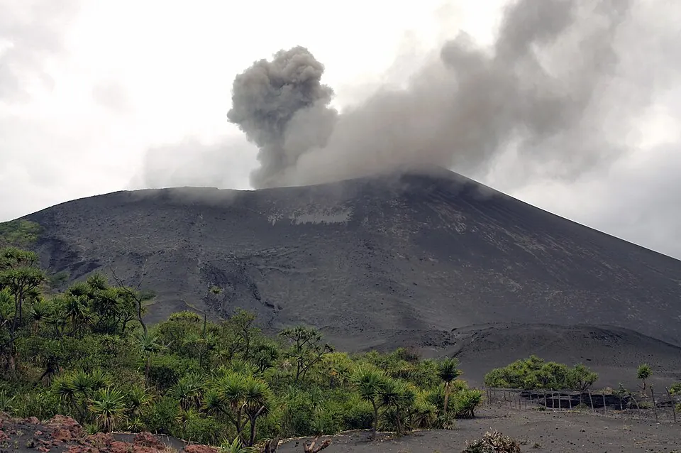
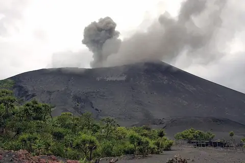
The site covers 1 top sight in total. Among the highlights is Mount Yasur.
When to go
The climate data describes averages only at the capital, Port Vila, covering temperatures and rain for the period of 1981 to 2010 and rainy days from 2015 to 2024. Monthly average temperatures range from 23 °C in August to 27 °C from January through March. Rain varies through the year, with lower rainfall from July through October, where monthly totals drop between 66 mm and 87 mm and rainy days range from 11 to 15. The warmer months from January to April experience higher rainfall, peaking in February at 288 mm across about 20 days and March with 271 mm across about 24 days.
Practical notes
The currency used is Vanuatu vatus. Official languages are Bislama, French, and English. Electrical plugs are types C, G, and I at 220.0 volts. Driving is on the right side of the road. The time zone is UTC+11:00.
Top sights in Vanuatu
Weather by month
The warmest month is February, averaging 27 °C. The wettest is February, with about 288 mm of rain.
| Jan | Feb | Mar | Apr | May | Jun | Jul | Aug | Sep | Oct | Nov | Dec | |
|---|---|---|---|---|---|---|---|---|---|---|---|---|
| Average temperature, °C | 27 | 27 | 27 | 26 | 25 | 24 | 24 | 23 | 24 | 24 | 25 | 26 |
| Rainfall, mm | 238 | 288 | 271 | 205 | 167 | 143 | 74 | 72 | 66 | 87 | 126 | 159 |
| Rainy days | 20 | 20 | 24 | 19 | 13 | 13 | 13 | 15 | 11 | 15 | 17 | 19 |
Temperatures and rainfall: 1981–2010 averages for Port Vila (4 km grid), from CHELSA. Rainy days: 2015–2024, NASA POWER.