Hantan River 한탄강
Cheorwon, South Korea
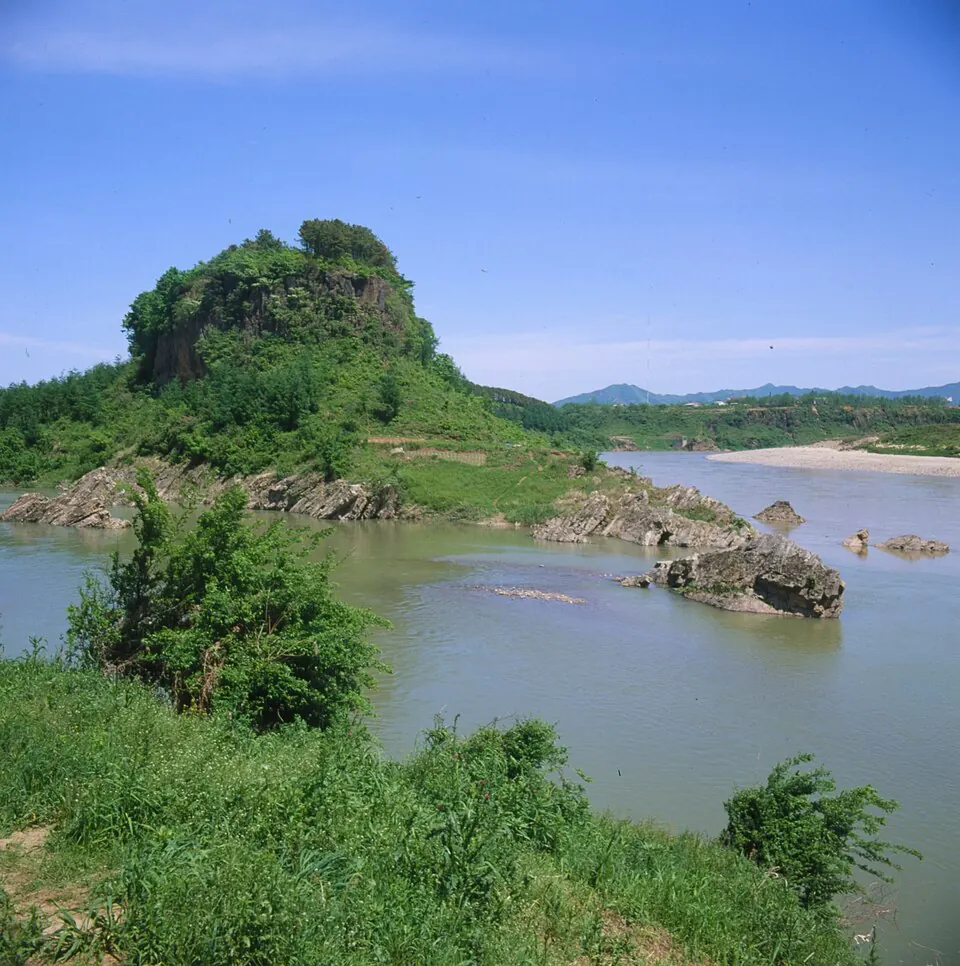
The Hantan River is a river in South Korea that forms part of the Chugaryeong Rift Zone. It is one of the 61 sights featured on this site and is ranked 28th among the most looked-up sights in South Korea on English Wikipedia.
Planning a visit
The climate varies significantly throughout the year. July and August are the warmest months with daily highs of 28 °C, but they also see the most rain, with about 325 mm to 398 mm and 18 rainy days each month. For drier conditions, October or April may be suitable, as they have lower rainfall levels. Winters are cold, with January seeing lows of -10 °C and highs of 0 °C.
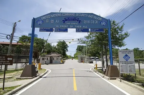
The river is located 49 km from Seoul. Travelers can reach the area via Seoul Gimpo International Airport, which is 53 km away. If visiting the Hantan River, you can also travel to nearby sites such as Camp Bonifas, which is 26.3 km away, or the Third Tunnel of Aggression, located 29 km from the river. Other nearby locations include Panmunjom, the Bridge of No Return, and the Kaesong Industrial Region.
Weather by month
The warmest month is August, with an average high of 29 °C. The wettest is July, with about 398 mm of rain.
| Jan | Feb | Mar | Apr | May | Jun | Jul | Aug | Sep | Oct | Nov | Dec | |
|---|---|---|---|---|---|---|---|---|---|---|---|---|
| Average high, °C | 0 | 4 | 10 | 17 | 22 | 26 | 28 | 29 | 24 | 18 | 10 | 3 |
| Average low, °C | -10 | -6 | -1 | 5 | 11 | 17 | 21 | 21 | 15 | 8 | 0 | -6 |
| Rainfall, mm | 18 | 21 | 41 | 68 | 102 | 131 | 398 | 325 | 158 | 44 | 46 | 19 |
| Rainy days | 3 | 4 | 5 | 7 | 7 | 11 | 18 | 18 | 12 | 8 | 7 | 4 |
Temperatures and rainfall: 1981–2010 averages for this spot (4 km grid), from CHELSA. Rainy days: 2015–2024, NASA POWER.