Turkmenistan
Country · Asia, Central Asia
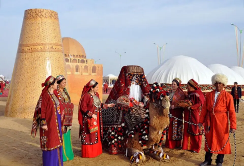
Turkmenistan is a country located in Central Asia, with Ashgabat as its capital. It covers an area of 491,210 square kilometers and has a population of about 7.6 million in 2025. The country offers travelers a mix of historical sites and natural landmarks.
Highlights
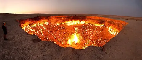
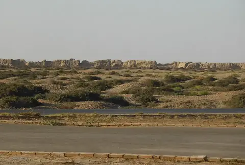
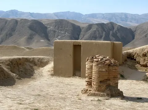
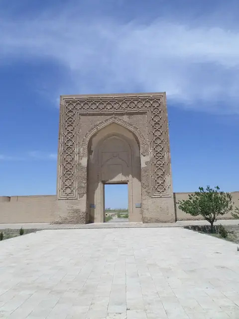
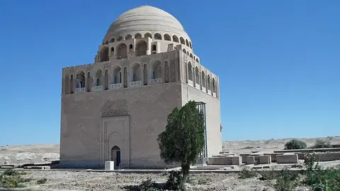
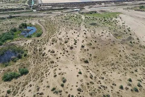
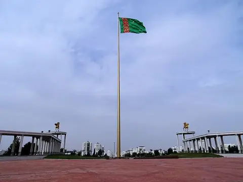
The site covers 8 sights across Turkmenistan. Cities include Ashgabat and Baýramaly. Notable sights feature the Darvaza gas crater, UNESCO World Heritage sites such as Merv, Nisa, and the Silk Roads: Zarafshan-Karakum Corridor, alongside the Independence Monument, Tomb of Ahmad Sanjar, Jeitun, and the Ashgabat Flagpole.
When to go
The climate at the capital, Ashgabat, varies significantly through the year. Winters are cool with daily highs around 8 °C to 10 °C from December to February and lows dropping to -1 °C in January. Summers are very hot, with July daily highs reaching 36 °C and lows of 26 °C, while experiencing minimal rain. Spring brings moderate temperatures and higher rainfall, with March recording 54 mm of rain over about 7 days. Travelers aiming for milder weather may prefer April or October, when daily highs average 23 °C.
Practical notes
The currency is the Turkmenistan new manat. The official language is Turkmen. Plugs used are types B, C, and F with a voltage of 220.0. Driving is on the right side of the road. The time zone is UTC+05:00.
Top sights in Turkmenistan

Weather by month
The warmest month is July, with an average high of 37 °C. The wettest is March, with about 54 mm of rain.
| Jan | Feb | Mar | Apr | May | Jun | Jul | Aug | Sep | Oct | Nov | Dec | |
|---|---|---|---|---|---|---|---|---|---|---|---|---|
| Average high, °C | 8 | 10 | 16 | 23 | 28 | 34 | 37 | 35 | 30 | 23 | 16 | 10 |
| Average low, °C | -1 | 0 | 5 | 12 | 17 | 23 | 26 | 24 | 19 | 12 | 6 | 1 |
| Rainfall, mm | 28 | 32 | 54 | 45 | 32 | 8 | 6 | 3 | 5 | 12 | 25 | 25 |
| Rainy days | 4 | 7 | 7 | 6 | 7 | 1 | 2 | 1 | 1 | 3 | 4 | 4 |
Temperatures and rainfall: 1981–2010 averages for Ashgabat (4 km grid), from CHELSA. Rainy days: 2015–2024, NASA POWER.