Merv
Baýramaly, Turkmenistan UNESCO World Heritage Site
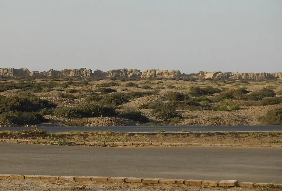
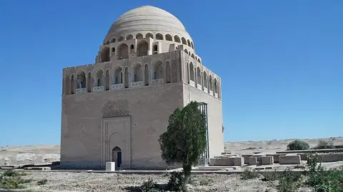
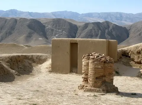
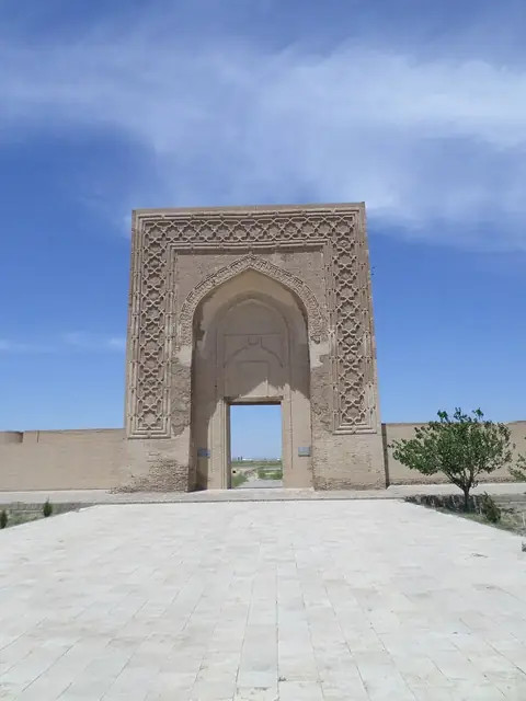
Merv is an archaeological site and ancient city located in Baýramaly District, Turkmenistan, and is a designated UNESCO World Heritage Site. It is named after Alexander the Great and covers an area of 3.532 square kilometers. The site ranks as the second most looked-up sight in Turkmenistan on English Wikipedia out of 8 sights of the country on this site.
Planning a visit
The site experiences hot summers with daily highs reaching 37 °C in July and cooler winters with daily lows dropping to -1 °C in January. Rain is minimal throughout the year, with the highest rainfall occurring in March at 34 mm over about 6 days. Spring and autumn offer moderate temperatures, with daily highs around 17 °C to 30 °C from March to May and September to November.
To reach Merv, the nearest airport is Mary International Airport in Mary, located 26 km away, while Türkmenabat International Airport is 185 km away. From the capital Ashgabat, the distance is 336 km. Nearby sights include the Tomb of Ahmad Sanjar, located 2.5 km away.
Weather by month
The warmest month is July, with an average high of 37 °C. Rain is spread fairly evenly through the year.
| Jan | Feb | Mar | Apr | May | Jun | Jul | Aug | Sep | Oct | Nov | Dec | |
|---|---|---|---|---|---|---|---|---|---|---|---|---|
| Average high, °C | 9 | 12 | 17 | 25 | 30 | 36 | 37 | 35 | 30 | 23 | 17 | 11 |
| Average low, °C | -1 | 1 | 5 | 11 | 17 | 22 | 24 | 22 | 16 | 10 | 5 | 1 |
| Rainfall, mm | 23 | 22 | 34 | 25 | 10 | 1 | 0 | 0 | 1 | 4 | 13 | 20 |
| Rainy days | 5 | 6 | 6 | 4 | 3 | 0 | 0 | 0 | 0 | 2 | 3 | 2 |
Temperatures and rainfall: 1981–2010 averages for this spot (4 km grid), from CHELSA. Rainy days: 2015–2024, NASA POWER.