Silk Roads: Zarafshan-Karakum Corridor
Turkmenistan UNESCO World Heritage Site
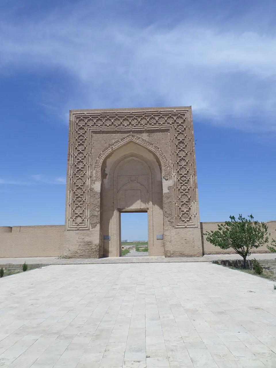
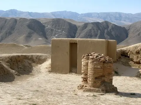
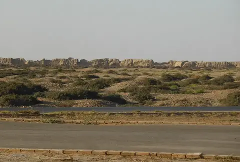
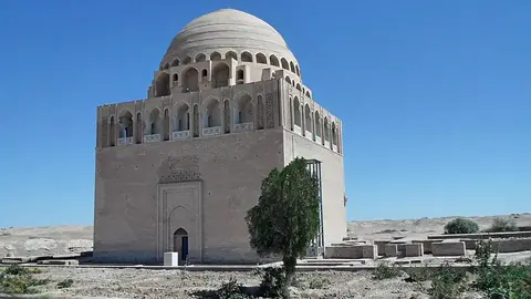
The Silk Roads: Zarafshan-Karakum Corridor is a transboundary World Heritage Site in Turkmenistan. It is part of the broader Silk Road network and is recognized on the list of World Heritage Sites in Northern and Central Asia. This site covers an area of 6.697 square kilometers and is one of the 4 most looked-up sights on English Wikipedia among the country's locations.
Planning a visit
The climate at the site features cold temperatures for much of the year. Daily highs remain below freezing from November through March, reaching lows of -12 °C in January. The warmest months are July and August, which both see daily highs of 17 °C and lows of 8 °C. These summer months also experience the least amount of rain, with August having only 2 rainy days. Given the cold, the summer period offers the most accessible conditions for travel.
To reach the site, travelers can fly into Khujand International Airport in Tajikistan, which is located 86 kilometers away. The site is situated 994 kilometers from Ashgabat, the capital of Turkmenistan. As a transboundary site, it is part of the extensive Silk Road corridor that connects various regions. There is no information provided regarding specific opening hours, entry prices, or wheelchair accessibility for this location.
Weather by month
The warmest month is July, with an average high of 17 °C. The wettest is April, with about 61 mm of rain.
| Jan | Feb | Mar | Apr | May | Jun | Jul | Aug | Sep | Oct | Nov | Dec | |
|---|---|---|---|---|---|---|---|---|---|---|---|---|
| Average high, °C | -6 | -5 | 0 | 5 | 9 | 14 | 17 | 17 | 14 | 7 | 0 | -4 |
| Average low, °C | -12 | -11 | -7 | -2 | 1 | 5 | 8 | 8 | 4 | -2 | -6 | -10 |
| Rainfall, mm | 24 | 38 | 55 | 61 | 59 | 40 | 44 | 17 | 17 | 23 | 28 | 31 |
| Rainy days | 9 | 10 | 12 | 11 | 12 | 6 | 5 | 2 | 2 | 7 | 7 | 8 |
Temperatures and rainfall: 1981–2010 averages for this spot (4 km grid), from CHELSA. Rainy days: 2015–2024, NASA POWER.