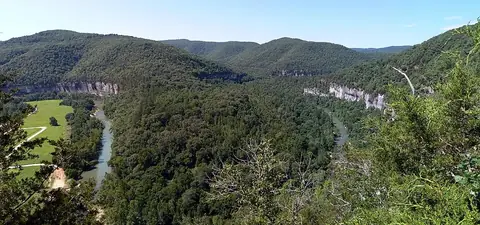
Rocky Mountains
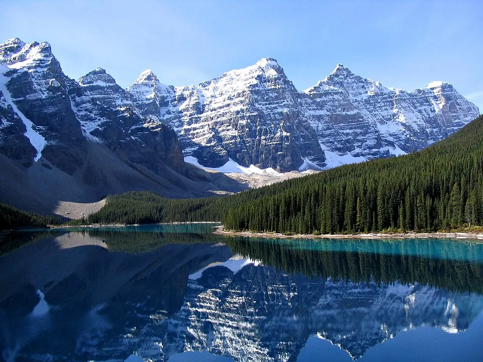
The Rocky Mountains are a mountain range consisting of metamorphic, igneous, and sedimentary rock. This range is part of the North American Cordillera and reaches an elevation of 4,401 meters.
Planning a visit
July and August are the warmest months, with daily highs of about 19 °C and the fewest rainy days. In contrast, January and February are the coldest, with daily highs below -10 °C and lows reaching -21 °C. Rainfall varies throughout the year, peaking in June with 97 mm.
Travelers can reach the area via Friedman Memorial Airport in Hailey, which is 82 km away, or Boise Air Terminal/Gowen Field, located 205 km from the range. The mountains are approximately 3,089 km from Washington, D.C. The Rocky Mountains are one of the 120 sights of the United States listed on this site and is the 21st most looked-up sight in the country on English Wikipedia.
Weather by month
The warmest month is July, with an average high of 19 °C. The wettest is June, with about 97 mm of rain.
| Jan | Feb | Mar | Apr | May | Jun | Jul | Aug | Sep | Oct | Nov | Dec | |
|---|---|---|---|---|---|---|---|---|---|---|---|---|
| Average high, °C | -12 | -9 | -6 | -2 | 5 | 12 | 19 | 19 | 12 | 4 | -6 | -12 |
| Average low, °C | -21 | -19 | -16 | -12 | -6 | 0 | 6 | 5 | 0 | -7 | -17 | -22 |
| Rainfall, mm | 39 | 29 | 44 | 56 | 92 | 97 | 61 | 52 | 44 | 49 | 42 | 46 |
| Rainy days | 10 | 9 | 11 | 10 | 15 | 9 | 6 | 6 | 6 | 6 | 9 | 11 |
Temperatures and rainfall: 1981–2010 averages for this spot (4 km grid), from CHELSA. Rainy days: 2015–2024, NASA POWER.