The Pentagon
Arlington County, United States

The Pentagon is a government office building and headquarters for the United States Department of Defense, located in Arlington County. Constructed from concrete and Indiana limestone in a Stripped Classicism style, it is one of the most looked-up sights in the United States. The structure is recognized as a National Historic Landmark, a National Register of Historic Places listed place, and a Virginia Historic Landmark.
Planning a visit
The Pentagon is located just 3 kilometers from Washington, D.C., and is easily accessible via Ronald Reagan Washington National Airport, which is also 3 kilometers away. Temperatures in the area are mild during spring and autumn, with highs ranging from 13 °C in March to 26 °C in September. Summer months can be warm, with July highs reaching 31 °C, and winter temperatures often drop near or below freezing. Rain occurs throughout the year, with the most frequent rainy days typically happening in July and August.
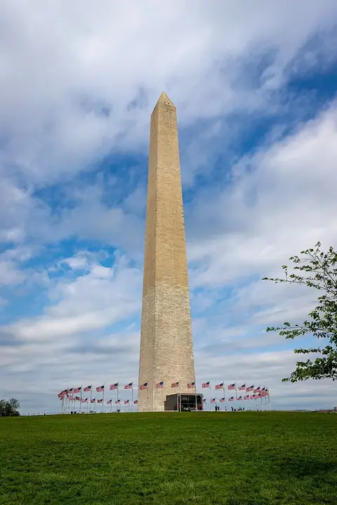
Visitors can combine a trip to the Pentagon with several nearby landmarks in the Washington, D.C. area. Arlington National Cemetery is the closest site at 1.4 kilometers away. Other nearby points of interest include the Lincoln Memorial at 2.1 kilometers, the Vietnam Veterans Memorial at 2.3 kilometers, the Washington Monument at 2.7 kilometers, and the White House at 3.4 kilometers. Tours of the Pentagon must be arranged through the official website.
Weather by month
The warmest month is July, with an average high of 31 °C. Rain is spread fairly evenly through the year.
| Jan | Feb | Mar | Apr | May | Jun | Jul | Aug | Sep | Oct | Nov | Dec | |
|---|---|---|---|---|---|---|---|---|---|---|---|---|
| Average high, °C | 6 | 8 | 13 | 19 | 24 | 29 | 31 | 30 | 26 | 20 | 14 | 8 |
| Average low, °C | -2 | -1 | 3 | 8 | 13 | 19 | 21 | 21 | 17 | 10 | 5 | 0 |
| Rainfall, mm | 74 | 71 | 87 | 91 | 110 | 103 | 109 | 92 | 88 | 90 | 71 | 82 |
| Rainy days | 8 | 10 | 9 | 10 | 13 | 13 | 16 | 15 | 10 | 6 | 7 | 9 |
Temperatures and rainfall: 1981–2010 averages for this spot (4 km grid), from CHELSA. Rainy days: 2015–2024, NASA POWER.