Arlington County
City in United States
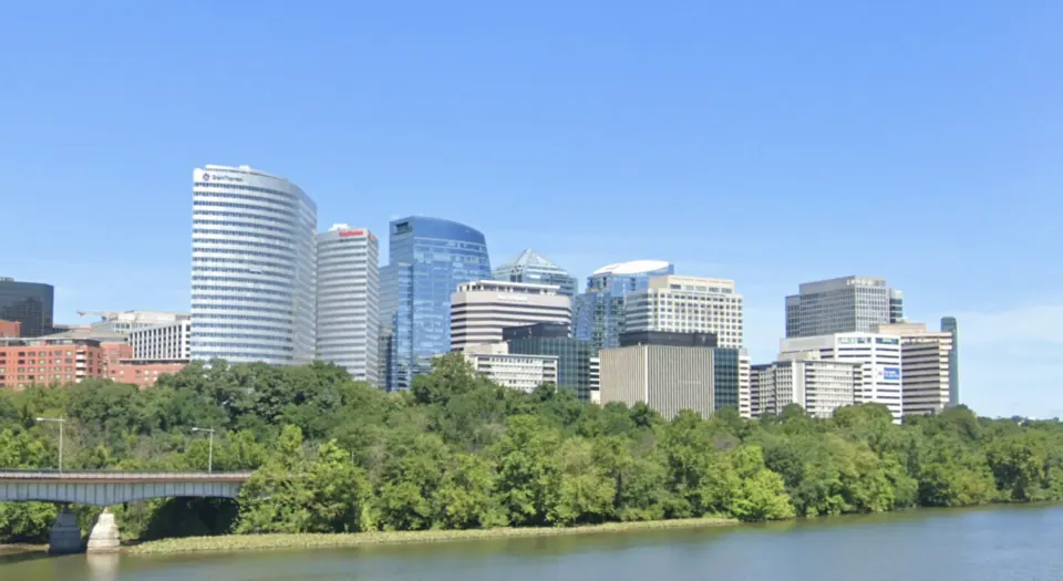
Arlington County is located in the United States, just 6 kilometers from Washington, D.C. With a 2020 population of about 239,000, the area is known for significant sites including Arlington National Cemetery and The Pentagon.
What to see
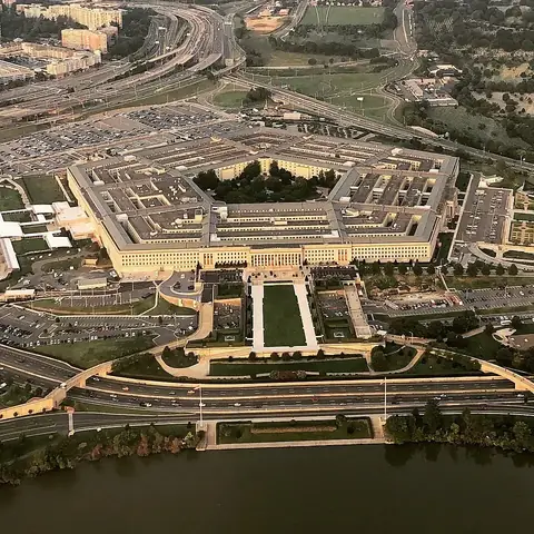
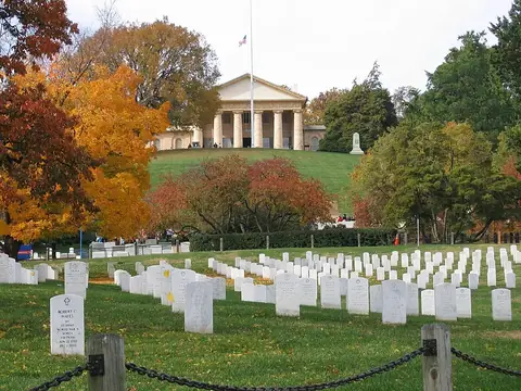
Arlington County is home to two major landmarks. Visitors can tour Arlington National Cemetery or visit The Pentagon.
When to go
The area experiences four distinct seasons. Winters are cold, with daily highs around 6 °C to 8 °C in January and February and lows reaching -2 °C. Spring and autumn offer milder temperatures; April and October see highs of 19 °C. Summers are warm, with July and August reaching daily highs of 30 °C to 31 °C. Rainfall is fairly consistent throughout the year, with monthly totals between 75 mm and 119 mm. July is the wettest month, averaging 16 rainy days.
Getting there
The nearest airport is Ronald Reagan Washington National Airport, located 7 kilometers away in Washington.
Top sights in Arlington County
Weather by month
The warmest month is July, with an average high of 31 °C. Rain is spread fairly evenly through the year.
| Jan | Feb | Mar | Apr | May | Jun | Jul | Aug | Sep | Oct | Nov | Dec | |
|---|---|---|---|---|---|---|---|---|---|---|---|---|
| Average high, °C | 6 | 8 | 13 | 19 | 24 | 29 | 31 | 30 | 26 | 19 | 14 | 8 |
| Average low, °C | -2 | -1 | 2 | 7 | 13 | 18 | 21 | 20 | 16 | 10 | 5 | 0 |
| Rainfall, mm | 80 | 76 | 92 | 97 | 116 | 110 | 119 | 99 | 94 | 95 | 75 | 86 |
| Rainy days | 8 | 10 | 9 | 10 | 13 | 13 | 16 | 15 | 10 | 6 | 7 | 9 |
Temperatures and rainfall: 1981–2010 averages for Arlington County (4 km grid), from CHELSA. Rainy days: 2015–2024, NASA POWER.