Huayna Potosí
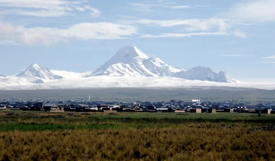
Huayna Potosí is a granite mountain and climbing area located in the Murillo Province within the Cordillera Real of Bolivia. It has an elevation of 6,088 meters. It is one of the most looked-up sights in the country on English Wikipedia, ranking 7th among Bolivia's sights and 12th on this site.
Planning a visit
The driest months for a visit are June, July, and August, which have about 2 rainy days each and temperatures between -6 °C and 4 °C. The wettest months are December through March; January is the wettest with about 450 mm of rain over 20 days, and December has about 330 mm of rain. Throughout the year, daily high temperatures range from 4 °C to 7 °C, and daily lows range from -1 °C to -6 °C.
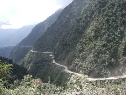
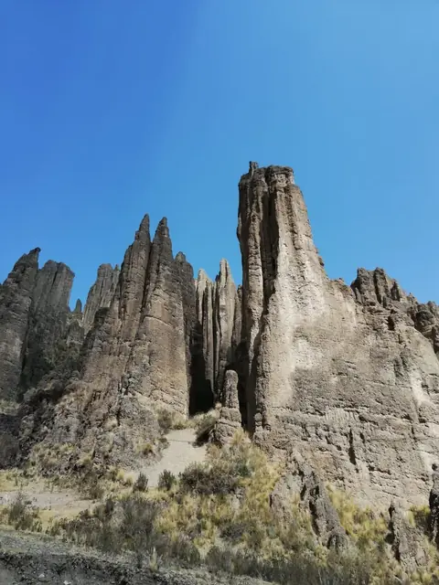
The nearest airport is El Alto International Airport, which is 28 km from the site. The mountain is 435 km from Sucre. Travelers can combine a visit with nearby locations such as Yungas Road, which is 14 km away. Other nearby sights within 32 km include Palacio Quemado, The Witches' Market, and San Pedro prison, all about 26 or 27 km away, as well as Valle de las Ánimas at 32 km.
Weather by month
The warmest month is November, with an average high of 7 °C. The wettest is January, with about 451 mm of rain.
| Jan | Feb | Mar | Apr | May | Jun | Jul | Aug | Sep | Oct | Nov | Dec | |
|---|---|---|---|---|---|---|---|---|---|---|---|---|
| Average high, °C | 6 | 6 | 6 | 6 | 5 | 4 | 4 | 5 | 5 | 7 | 7 | 7 |
| Average low, °C | -1 | -2 | -2 | -3 | -4 | -6 | -6 | -6 | -5 | -3 | -2 | -1 |
| Rainfall, mm | 451 | 351 | 274 | 170 | 80 | 63 | 55 | 108 | 145 | 200 | 215 | 328 |
| Rainy days | 20 | 18 | 17 | 9 | 4 | 2 | 2 | 2 | 5 | 9 | 10 | 17 |
Temperatures and rainfall: 1981–2010 averages for this spot (4 km grid), from CHELSA. Rainy days: 2015–2024, NASA POWER.