Yungas Road Camino a Los Yungas
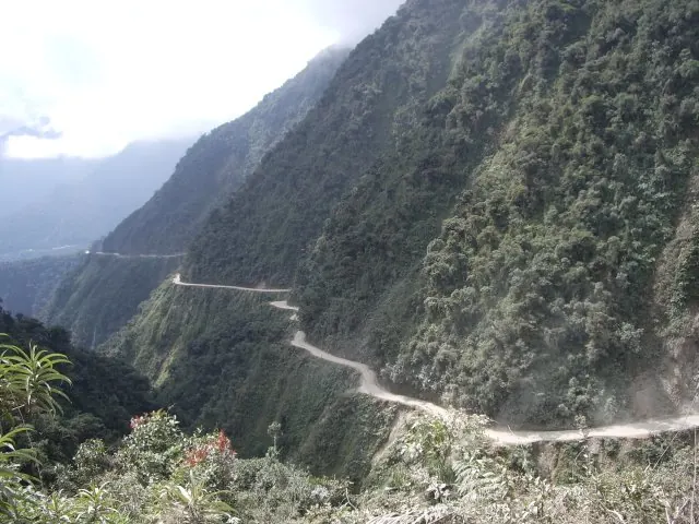
The Yungas Road, or Camino a Los Yungas, is a 60-kilometer route in Bolivia constructed in the 1930s. Known as the Death Road, it is one of the most looked-up sights in the country.
Planning a visit
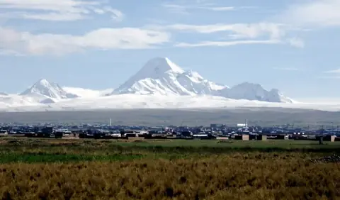
The driest months to visit are June and July, which see about 2 days of rain each, though temperatures are the coldest of the year, dropping as low as -5 °C. The wettest months are January and February, with 18 to 20 days of rain, making travel conditions more difficult. The nearest airport is El Alto International Airport, located 25 kilometers away. You can combine a trip here with nearby sights such as Huayna Potosí, which is 14.2 kilometers away, or the Witches' Market, located 21.6 kilometers from the road. The capital city of Sucre is 421 kilometers away.
Weather by month
The warmest month is November, with an average high of 8 °C. The wettest is January, with about 417 mm of rain.
| Jan | Feb | Mar | Apr | May | Jun | Jul | Aug | Sep | Oct | Nov | Dec | |
|---|---|---|---|---|---|---|---|---|---|---|---|---|
| Average high, °C | 8 | 8 | 8 | 7 | 7 | 6 | 5 | 6 | 7 | 8 | 8 | 8 |
| Average low, °C | 0 | 0 | 0 | -1 | -3 | -4 | -5 | -4 | -3 | -2 | -1 | 0 |
| Rainfall, mm | 417 | 327 | 253 | 157 | 75 | 60 | 50 | 105 | 138 | 188 | 200 | 302 |
| Rainy days | 20 | 18 | 17 | 9 | 4 | 2 | 2 | 2 | 5 | 9 | 10 | 17 |
Temperatures and rainfall: 1981–2010 averages for this spot (4 km grid), from CHELSA. Rainy days: 2015–2024, NASA POWER.