Bolivia
Country · Americas, South America
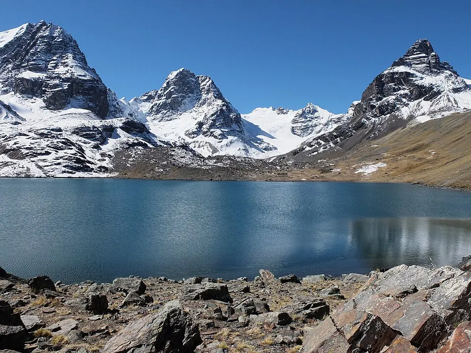
Bolivia is a country in South America with capitals Sucre and La Paz. It has an area of 1,098,581 square kilometers and a population of about 13 million. The country offers a traveller 12 top sights.
Highlights
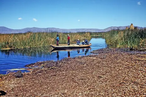
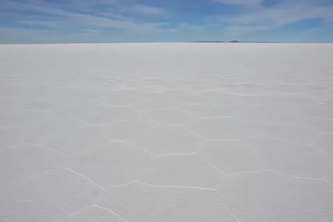
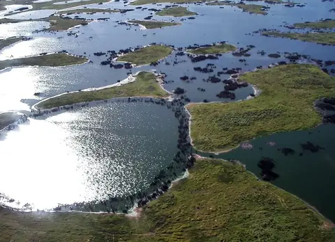
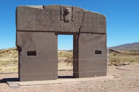
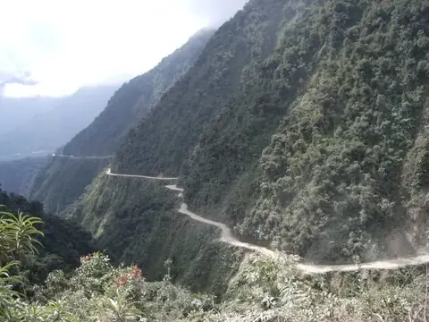
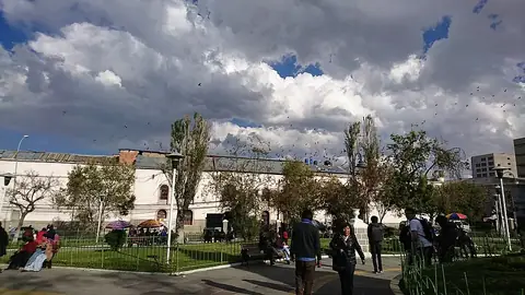
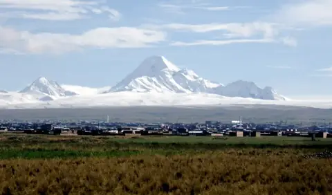
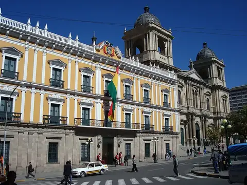
The site covers 12 top sights. These include natural and cultural locations such as Lake Titicaca, Salar de Uyuni, the Pantanal, Tiwanaku, Yungas Road, San Pedro prison, Huayna Potosí, Cristo de la Concordia, Cal Orck'o, The Witches' Market, Valle de las Ánimas, and Palacio Quemado.
Food and drink
Local dishes and beverages include Marraqueta, Salteña, Singani, Charquicán, and T'anta wawa.
When to go
The climate at the capital features daily highs and lows. May through August see lower rainfall, with July recording the lowest rain at 2 mm on about 2 days and temperatures reaching a high of 18 °C and a low of 3 °C. January has the highest rain at 156 mm on about 18 days, with a high of 19 °C and a low of 10 °C.
Practical notes
Bolivia uses the boliviano currency. Official languages are Spanish, Aymara, Quechua, and Guarani. Plugs are type A and C with a voltage of 115.0. Driving is on the right side. The time zone is UTC−04:00.
Cities
Food and drink to try in Bolivia
- Marraqueta
- Salteña
- Singani
- Charquicán
- T'anta wawa
Top sights in Bolivia
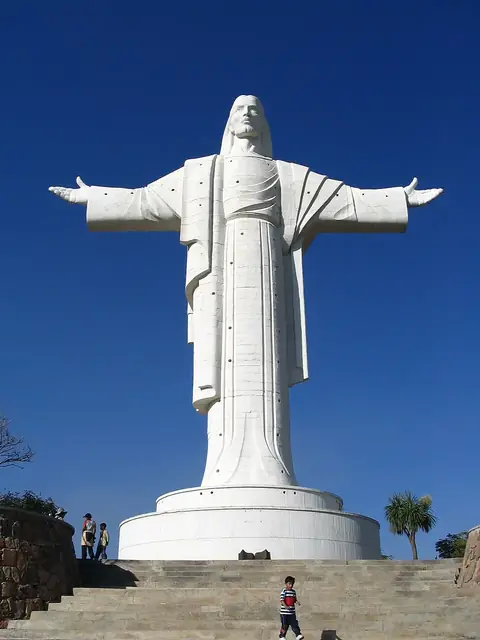
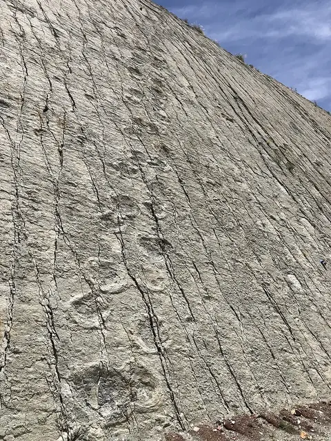
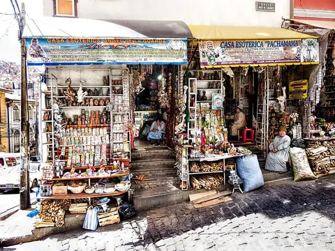
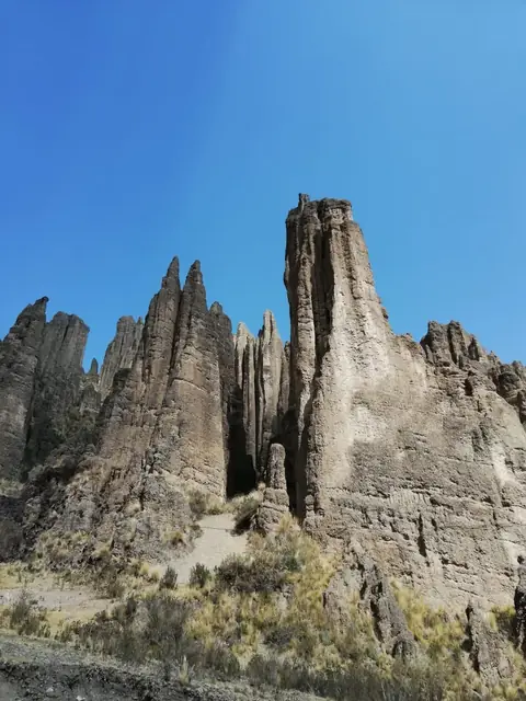
Weather by month
The warmest month is October, with an average high of 21 °C. The wettest is January, with about 156 mm of rain.
| Jan | Feb | Mar | Apr | May | Jun | Jul | Aug | Sep | Oct | Nov | Dec | |
|---|---|---|---|---|---|---|---|---|---|---|---|---|
| Average high, °C | 19 | 19 | 19 | 18 | 18 | 18 | 18 | 19 | 20 | 21 | 21 | 20 |
| Average low, °C | 10 | 10 | 10 | 8 | 6 | 3 | 3 | 5 | 7 | 9 | 10 | 10 |
| Rainfall, mm | 156 | 123 | 102 | 28 | 6 | 3 | 2 | 6 | 21 | 45 | 59 | 110 |
| Rainy days | 18 | 16 | 14 | 9 | 4 | 3 | 2 | 2 | 4 | 9 | 10 | 16 |
Temperatures and rainfall: 1981–2010 averages for Sucre (4 km grid), from CHELSA. Rainy days: 2015–2024, NASA POWER.
Also worth a look
- Amboró National Park
- Andes
- Basilica of Our Lady of Copacabana
- El Fuerte de Samaipata
- Inca road system
- Isla de la Luna
- Jesuit Missions of Chiquitos
- Kaa-Iya del Gran Chaco National Park and Integrated Management Natural Area
- Laguna Hedionda
- Madidi National Park
- National Mint of Bolivia
- Noel Kempff Mercado National Park
- Sajama National Park
- Sol de Mañana
- Torotoro National Park
- Tunupa
- Valle de la Luna
- Árbol de Piedra