Lake Titicaca
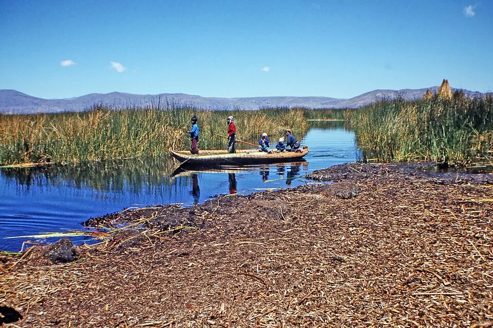
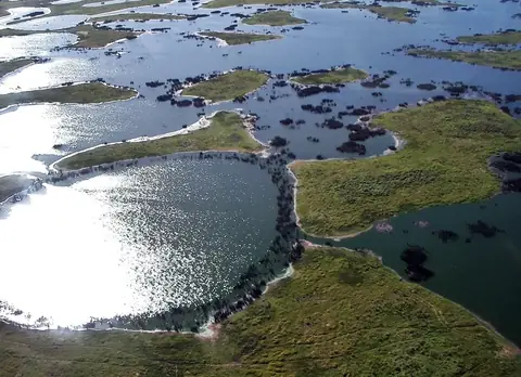
Lake Titicaca is a lake, monomictic lake, and mountain lake located in Bolivia at an elevation of 3812 meters. It is a Ramsar site and Tentative World Heritage Site that spans an area of 8372 square kilometers with a length of 204000 meters. It is one of the sights of the country on this site and ranks first by English Wikipedia lookups among the country's sights.
Planning a visit
The months from June to August experience the lowest rainfall, with rain on about 2 days per month and daily highs of 11 °C to 12 °C and lows of 6 °C. January and February have the highest precipitation, recording 317 mm and 234 mm of rain respectively across about 20 days each, with daily highs of 12 °C and lows of 8 °C.
The nearest airport is Inca Manco Capac International Airport in Juliaca, Peru, located 97 km away. The lake is 561 km from the capital city of Sucre and is situated in the Puno Department and La Paz Department.
Weather by month
The warmest month is November, with an average high of 13 °C. The wettest is January, with about 317 mm of rain.
| Jan | Feb | Mar | Apr | May | Jun | Jul | Aug | Sep | Oct | Nov | Dec | |
|---|---|---|---|---|---|---|---|---|---|---|---|---|
| Average high, °C | 12 | 12 | 12 | 12 | 12 | 11 | 11 | 12 | 12 | 13 | 13 | 13 |
| Average low, °C | 8 | 8 | 8 | 7 | 7 | 6 | 6 | 6 | 6 | 7 | 8 | 8 |
| Rainfall, mm | 317 | 234 | 185 | 91 | 23 | 18 | 10 | 23 | 44 | 72 | 102 | 170 |
| Rainy days | 20 | 20 | 18 | 10 | 5 | 2 | 2 | 2 | 5 | 9 | 10 | 18 |
Temperatures and rainfall: 1981–2010 averages for this spot (4 km grid), from CHELSA. Rainy days: 2015–2024, NASA POWER.