Pantanal pântano
Bolivia UNESCO World Heritage Site
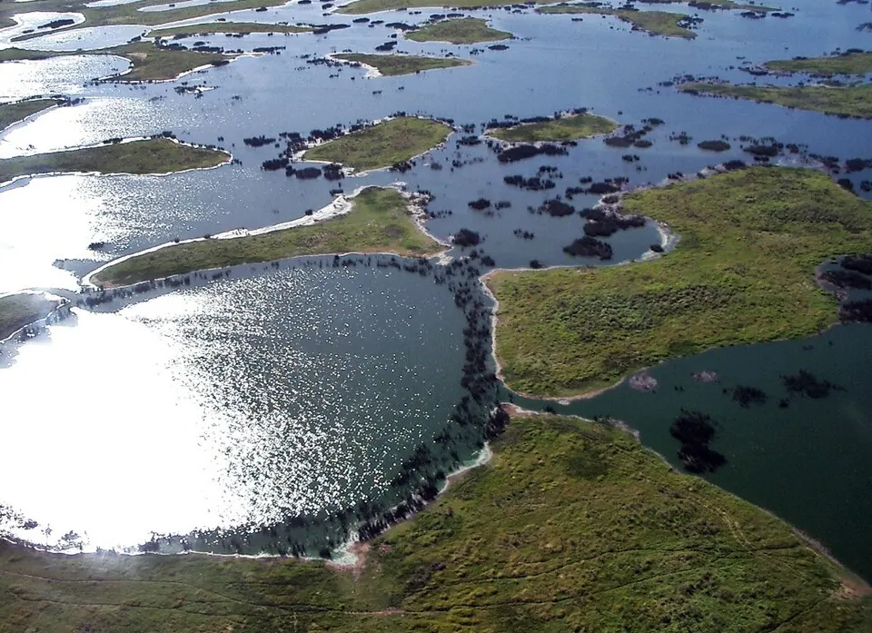
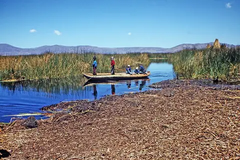
The Pantanal is a swamp, plain, savanna, and WWF ecoregion located in Bolivia. It is recognized as a World Heritage Site and a Ramsar site, and it spans an area of 879 square kilometers. It is one of the most looked-up sights in the country.
Planning a visit
The climate features daily highs and lows throughout the year. The drier months from June to August see lower rainfall, with July experiencing about 13 mm of rain on about 3 days and daily temperatures ranging from a high of 28 °C to a low of 19 °C. Conversely, the wetter months from November to March bring heavier rainfall, peaking in January with 230 mm of rain on about 19 days and daily temperatures between a high of 31 °C and a low of 25 °C.
To reach the site, the nearest airport is Capitán Av. Salvador Ogaya G. airport in Puerto Suárez, Bolivia, located 178 km away, while Várzea Grande–Marechal Rondon International Airport in Cuiabá, Brazil, serves as a hub 244 km away. The capital Sucre is 840 km away.
Weather by month
The warmest month is October, with an average high of 32 °C. The wettest is January, with about 230 mm of rain.
| Jan | Feb | Mar | Apr | May | Jun | Jul | Aug | Sep | Oct | Nov | Dec | |
|---|---|---|---|---|---|---|---|---|---|---|---|---|
| Average high, °C | 31 | 31 | 31 | 30 | 28 | 28 | 28 | 31 | 32 | 32 | 32 | 31 |
| Average low, °C | 25 | 25 | 25 | 24 | 21 | 20 | 19 | 20 | 22 | 24 | 25 | 25 |
| Rainfall, mm | 230 | 170 | 163 | 74 | 41 | 23 | 13 | 26 | 50 | 86 | 132 | 196 |
| Rainy days | 19 | 19 | 15 | 10 | 6 | 3 | 3 | 4 | 5 | 10 | 14 | 19 |
Temperatures and rainfall: 1981–2010 averages for this spot (4 km grid), from CHELSA. Rainy days: 2015–2024, NASA POWER.