Balasagun Баласагун
Kyrgyzstan UNESCO World Heritage Site
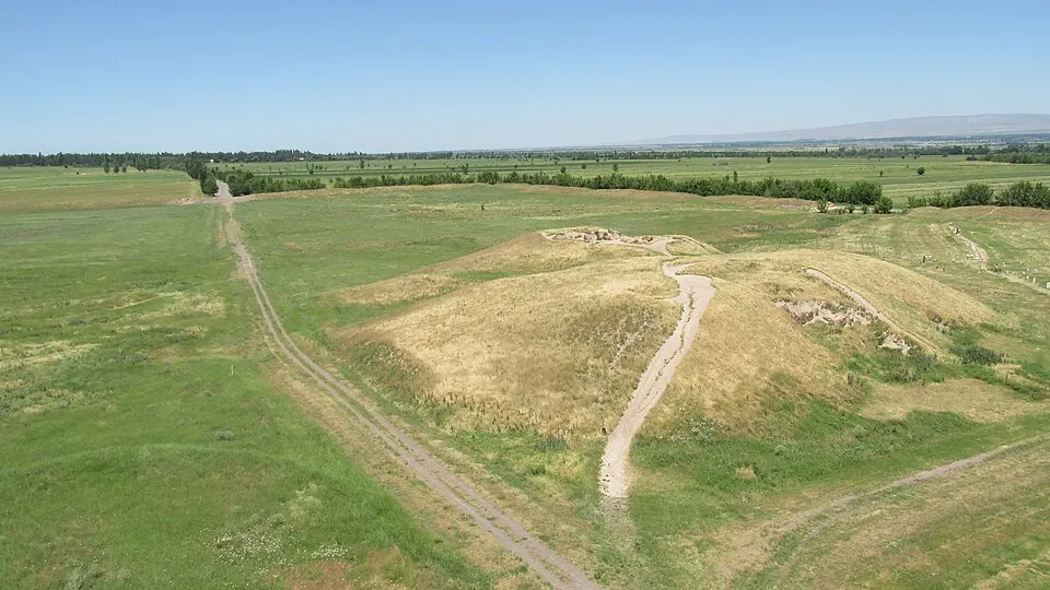
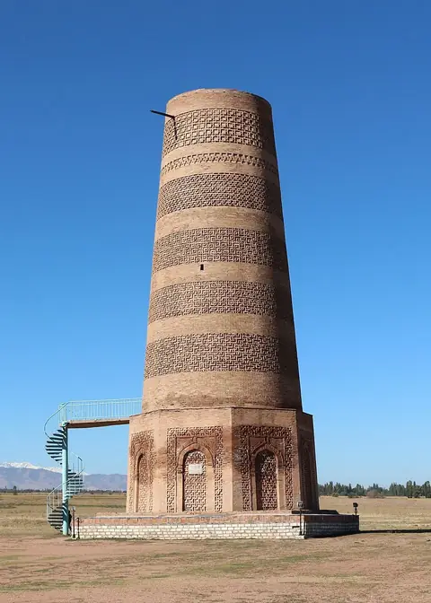
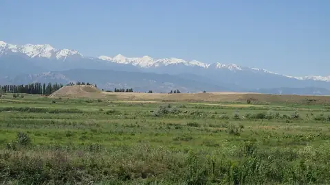
Balasagun is an archaeological site and city in the Chuy District of Kyrgyzstan. It is part of the Silk Roads: the Routes Network of Chang'an-Tianshan Corridor UNESCO World Heritage Site. It is one of the most looked-up sights in Kyrgyzstan.
Planning a visit
The warmest months for a visit are July and August, with daily highs of 27 °C and lower rain amounts of 25 mm to 38 mm. January is the coldest month, with daily highs of 2 °C and lows of -9 °C. May receives the most rain, with 82 mm over about 9 days. The site is open Monday through Friday from 08:30 to 20:00.
Balasagun is located 57 km from Bishkek. The nearest airport is Manas International Airport in Bishkek, located 72 km away. Nearby places to visit include Burana Tower at a distance of 0.2 km, Suyab at 6.0 km, and Navekat at 26.8 km.
Weather by month
The warmest month is July, with an average high of 27 °C. The wettest is May, with about 82 mm of rain.
| Jan | Feb | Mar | Apr | May | Jun | Jul | Aug | Sep | Oct | Nov | Dec | |
|---|---|---|---|---|---|---|---|---|---|---|---|---|
| Average high, °C | 2 | 5 | 10 | 16 | 20 | 25 | 27 | 27 | 23 | 16 | 9 | 3 |
| Average low, °C | -9 | -7 | -2 | 4 | 8 | 13 | 15 | 14 | 10 | 3 | -2 | -7 |
| Rainfall, mm | 26 | 32 | 58 | 75 | 82 | 56 | 38 | 25 | 27 | 47 | 46 | 31 |
| Rainy days | 5 | 6 | 9 | 9 | 9 | 8 | 5 | 3 | 3 | 6 | 7 | 5 |
Temperatures and rainfall: 1981–2010 averages for this spot (4 km grid), from CHELSA. Rainy days: 2015–2024, NASA POWER.