Navekat
Kyrgyzstan UNESCO World Heritage Site
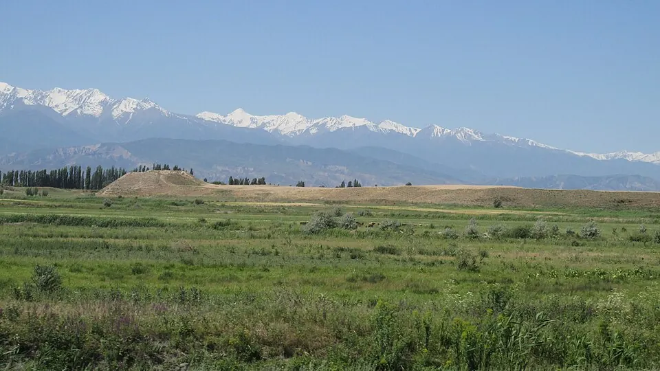
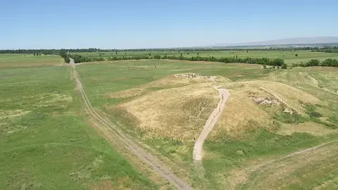
Navekat is an archaeological site and city in Kyrgyzstan that is part of a UNESCO World Heritage Site. It is included in the Silk Roads: the Routes Network of Chang'an-Tianshan Corridor.
Planning a visit
The warmest months are July and August, when daily highs reach 30 °C. The driest period is from August to September, with August having about 20 mm of rain and September having about 25 mm. In contrast, April is the wettest month with about 84 mm of rain. Winter months like January and February are cold, with lows reaching -6 °C and -5 °C.
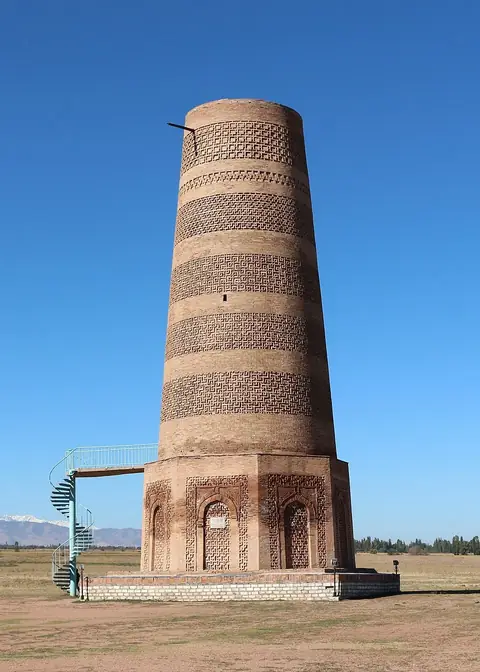
Navekat is 37 km from the capital, Bishkek. The nearest airport is Manas International Airport in Bishkek, which is 46 km away. Visitors can combine a trip to Navekat with nearby sites such as Suyab, Balasagun, Burana Tower, or Ala-Too Square. Navekat is the 9th most looked-up sight in Kyrgyzstan on English Wikipedia.
Weather by month
The warmest month is July, with an average high of 30 °C. The wettest is April, with about 84 mm of rain.
| Jan | Feb | Mar | Apr | May | Jun | Jul | Aug | Sep | Oct | Nov | Dec | |
|---|---|---|---|---|---|---|---|---|---|---|---|---|
| Average high, °C | 4 | 6 | 11 | 18 | 23 | 28 | 30 | 30 | 25 | 17 | 11 | 5 |
| Average low, °C | -6 | -5 | 0 | 6 | 10 | 15 | 17 | 16 | 12 | 5 | 0 | -5 |
| Rainfall, mm | 33 | 39 | 66 | 84 | 77 | 46 | 36 | 20 | 25 | 49 | 52 | 38 |
| Rainy days | 7 | 6 | 10 | 10 | 10 | 6 | 4 | 3 | 3 | 6 | 9 | 6 |
Temperatures and rainfall: 1981–2010 averages for this spot (4 km grid), from CHELSA. Rainy days: 2015–2024, NASA POWER.