Suyab
Kyrgyzstan UNESCO World Heritage Site
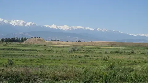
Suyab is an ancient city and archaeological site located in the Chuy Region of Kyrgyzstan. As part of the UNESCO World Heritage Site covering the Silk Roads: the Routes Network of Chang'an-Tianshan Corridor, it spans an area of 0.378 square kilometers.
Planning a visit
The warmest and driest months to visit are July and August, when daily highs reach 28 °C and rain is minimal. Temperatures drop significantly between November and March, with lows reaching -8 °C. May and June offer mild weather, with highs between 21 °C and 26 °C, though these months see more rain than late summer.
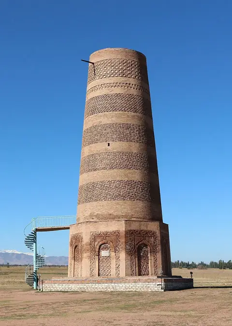
Suyab is located 58 kilometers from Bishkek. The nearest airport is Manas International Airport, 71 kilometers away. You can combine a visit to the site with nearby locations such as Balasagun, which is 6 kilometers away, Burana Tower, located 6.1 kilometers away, or Navekat, situated 24.4 kilometers from the site.
Weather by month
The warmest month is July, with an average high of 28 °C. The wettest is May, with about 77 mm of rain.
| Jan | Feb | Mar | Apr | May | Jun | Jul | Aug | Sep | Oct | Nov | Dec | |
|---|---|---|---|---|---|---|---|---|---|---|---|---|
| Average high, °C | 3 | 5 | 10 | 17 | 21 | 26 | 28 | 28 | 24 | 17 | 10 | 4 |
| Average low, °C | -8 | -6 | -1 | 5 | 9 | 13 | 16 | 15 | 11 | 4 | -2 | -6 |
| Rainfall, mm | 24 | 30 | 54 | 72 | 77 | 52 | 35 | 22 | 24 | 44 | 43 | 29 |
| Rainy days | 7 | 6 | 10 | 10 | 10 | 6 | 4 | 3 | 3 | 6 | 9 | 6 |
Temperatures and rainfall: 1981–2010 averages for this spot (4 km grid), from CHELSA. Rainy days: 2015–2024, NASA POWER.