Byblos جبيل
Lebanon UNESCO World Heritage Site
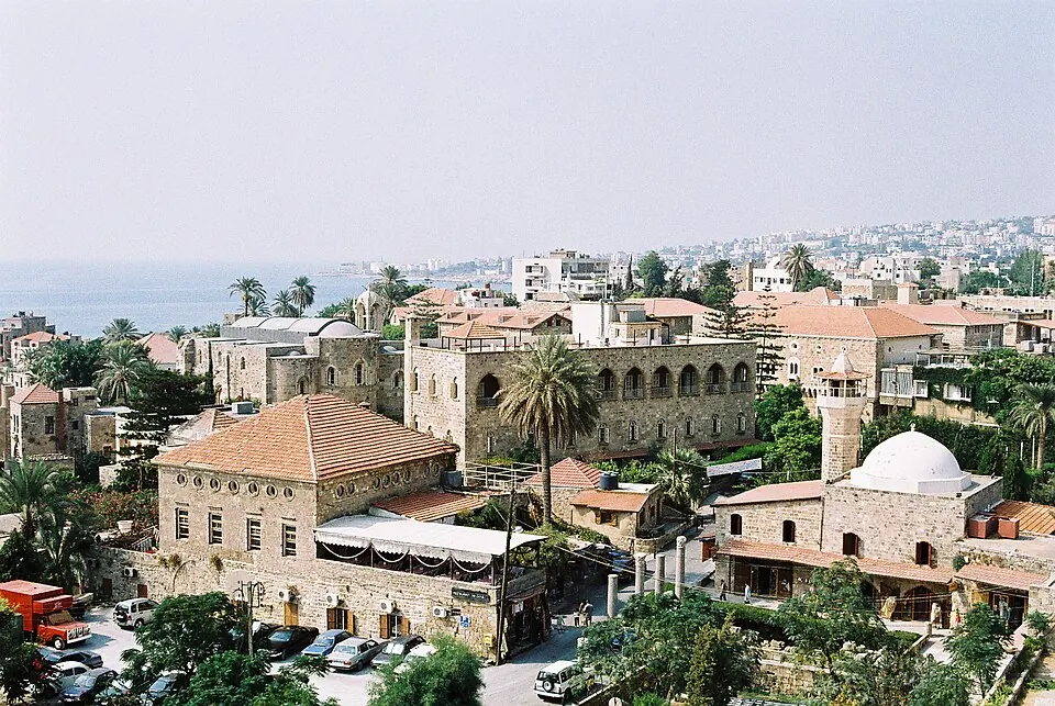
Byblos is a human settlement, archaeological site, city, and city-state located in the Jbeil District of Lebanon. It is a UNESCO World Heritage Site with an elevation of 10 meters and an area of 5 square kilometers, with an inception dating back to the 8th millennium BC. It is one of the most looked-up sights in Lebanon.
Planning a visit
The site experiences daily highs and lows. June, July, and August have the lowest rainfall, ranging from 1 mm to 5 mm over 0 days, with daily highs between 27 °C and 29 °C and lows from 21 °C to 23 °C. January is the wettest month, with 280 mm of rain over about 14 days, a high of 15 °C, and a low of 10 °C.
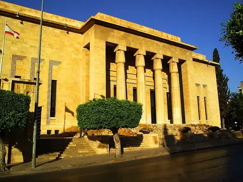
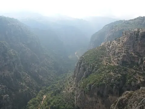
The nearest airport is Beirut Rafic Hariri International Airport in Beirut, located 36 km away, and the capital Beirut is 28 km away. Nearby places to visit include the Maghen Abraham Synagogue at 28.0 km, Achrafieh at 28.1 km, the National Museum of Beirut at 29.3 km, Raouché at 30.2 km, and the Kadisha Valley at 33.3 km.
Weather by month
The warmest month is August, with an average high of 29 °C. The wettest is January, with about 280 mm of rain.
| Jan | Feb | Mar | Apr | May | Jun | Jul | Aug | Sep | Oct | Nov | Dec | |
|---|---|---|---|---|---|---|---|---|---|---|---|---|
| Average high, °C | 15 | 16 | 18 | 21 | 24 | 27 | 29 | 29 | 28 | 26 | 21 | 17 |
| Average low, °C | 10 | 10 | 12 | 14 | 17 | 21 | 23 | 23 | 22 | 20 | 16 | 12 |
| Rainfall, mm | 280 | 220 | 158 | 62 | 26 | 5 | 2 | 1 | 8 | 70 | 179 | 222 |
| Rainy days | 14 | 9 | 10 | 5 | 2 | 1 | 0 | 0 | 1 | 4 | 8 | 11 |
Temperatures and rainfall: 1981–2010 averages for this spot (4 km grid), from CHELSA. Rainy days: 2015–2024, NASA POWER.