Cedars of God
Lebanon UNESCO World Heritage Site
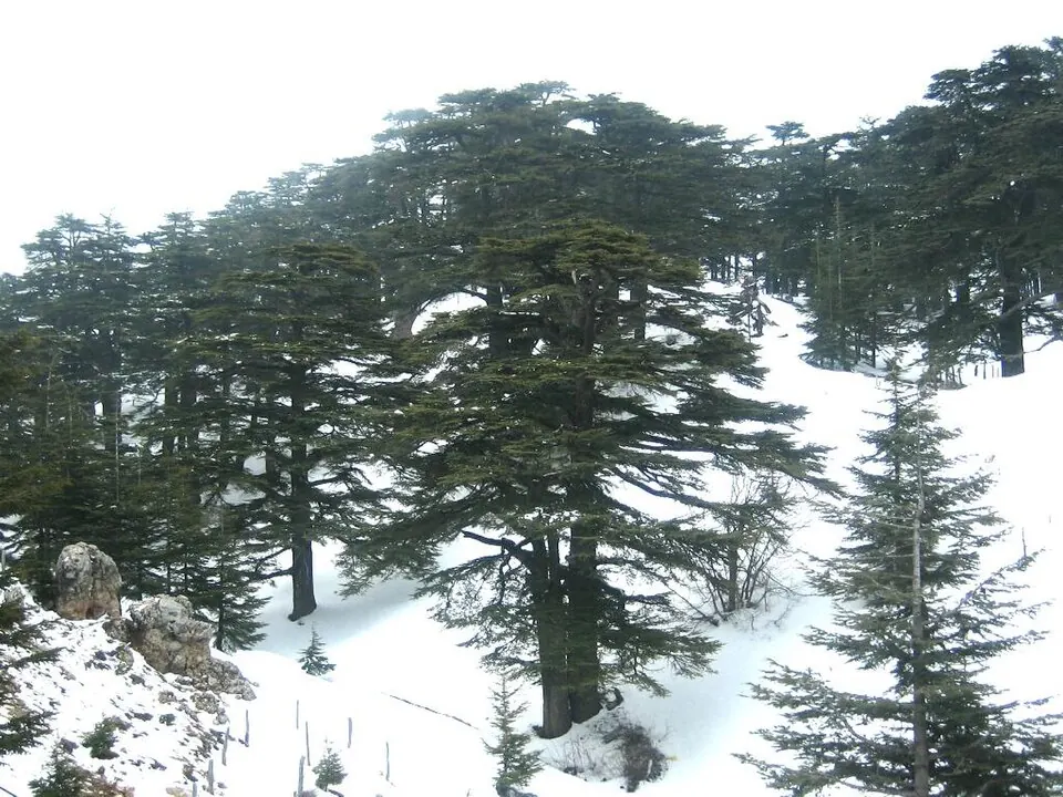
The Cedars of God is a forest located in the Bsharri and Zgharta districts of Lebanon. It is part of the UNESCO World Heritage Site designated as Ouadi Qadisha and the Forest of the Cedars of God. This area is one of the most looked-up sights in Lebanon.
Planning a visit
The warmest and driest time to visit is from June through August, when temperatures reach highs of 19 °C to 22 °C and rainfall is almost non-existent. Travelers visiting during the winter months from December to March should prepare for cold conditions, as temperatures reach lows of -4 °C to -7 °C and the area receives significant precipitation, including 214 mm of rain in January. The forest is located 63 km from Beirut. The nearest entry point by air is Beirut Rafic Hariri International Airport, which is 70 km away.
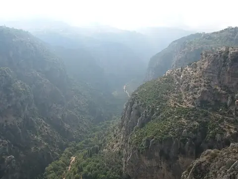
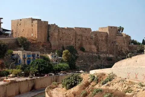
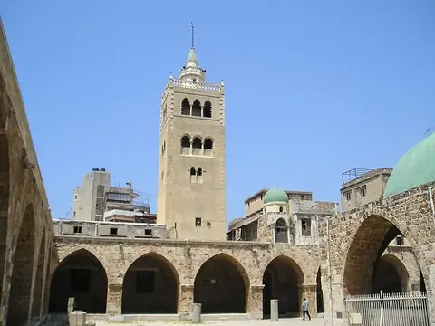
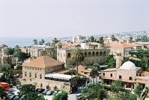
Visitors can combine a trip to the forest with visits to several nearby landmarks. The Kadisha Valley is the closest, situated 9.9 km away. The Citadel of Tripoli is 28.2 km from the forest, and the Mansouri Great Mosque is 28.4 km away. Additionally, the historic city of Byblos is located 39.3 km from the site.
Weather by month
The warmest month is August, with an average high of 22 °C. The wettest is January, with about 214 mm of rain.
| Jan | Feb | Mar | Apr | May | Jun | Jul | Aug | Sep | Oct | Nov | Dec | |
|---|---|---|---|---|---|---|---|---|---|---|---|---|
| Average high, °C | 2 | 2 | 6 | 11 | 15 | 19 | 22 | 22 | 20 | 15 | 9 | 4 |
| Average low, °C | -6 | -7 | -4 | 0 | 4 | 8 | 11 | 11 | 9 | 5 | -1 | -4 |
| Rainfall, mm | 214 | 190 | 143 | 64 | 33 | 8 | 4 | 2 | 7 | 73 | 149 | 178 |
| Rainy days | 14 | 9 | 9 | 4 | 2 | 1 | 0 | 0 | 1 | 4 | 8 | 10 |
Temperatures and rainfall: 1981–2010 averages for this spot (4 km grid), from CHELSA. Rainy days: 2015–2024, NASA POWER.