Kadisha Valley وادي قاديشا
Lebanon UNESCO World Heritage Site
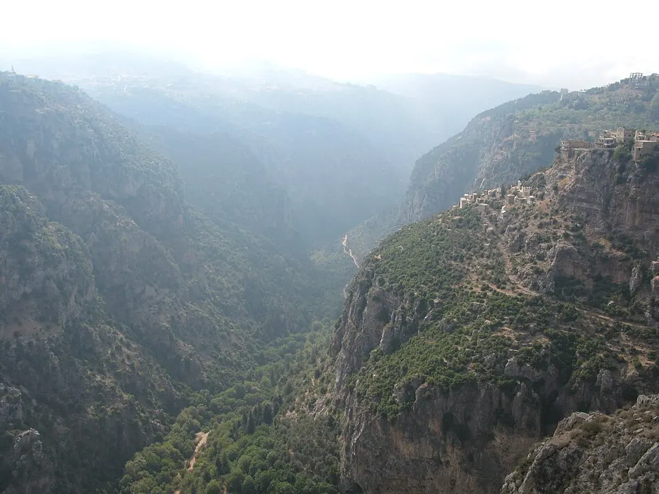
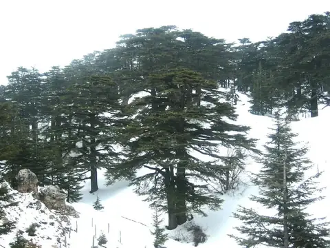
Kadisha Valley is a valley located in the Bsharri District of Lebanon within the Mount Lebanon range. As part of a UNESCO World Heritage Site, it is one of the most looked-up sights in the country on English Wikipedia. The area covers 17 km2.
Planning a visit
The warmest months are July and August, which see daily highs of 26 °C and virtually no rain. January and February are the coldest months with daily highs of 8 °C and lows of 0 °C, alongside heavy rainfall reaching up to 259 mm.
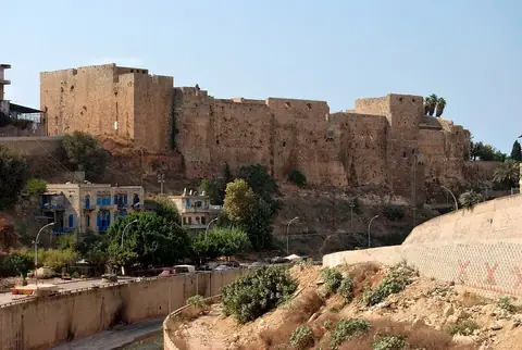
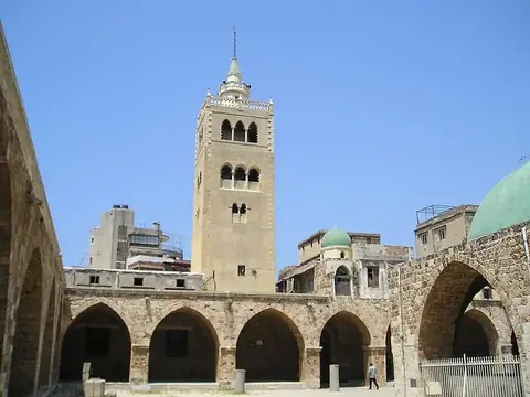
The site is located 60 km from the capital Beirut. The nearest airport is Beirut Rafic Hariri International Airport in Beirut, situated 67 km away. Nearby places to combine with a trip include the Cedars of God at 9.9 km, the Citadel of Tripoli at 19.4 km, the Mansouri Great Mosque at 19.6 km, and Byblos at 33.3 km.
Weather by month
The warmest month is August, with an average high of 26 °C. The wettest is January, with about 259 mm of rain.
| Jan | Feb | Mar | Apr | May | Jun | Jul | Aug | Sep | Oct | Nov | Dec | |
|---|---|---|---|---|---|---|---|---|---|---|---|---|
| Average high, °C | 8 | 8 | 11 | 16 | 20 | 24 | 26 | 26 | 24 | 20 | 14 | 10 |
| Average low, °C | 0 | 0 | 2 | 6 | 10 | 14 | 17 | 17 | 15 | 11 | 6 | 2 |
| Rainfall, mm | 259 | 220 | 165 | 70 | 35 | 8 | 4 | 2 | 8 | 86 | 182 | 218 |
| Rainy days | 14 | 8 | 9 | 4 | 3 | 1 | 0 | 0 | 1 | 3 | 9 | 11 |
Temperatures and rainfall: 1981–2010 averages for this spot (4 km grid), from CHELSA. Rainy days: 2015–2024, NASA POWER.